


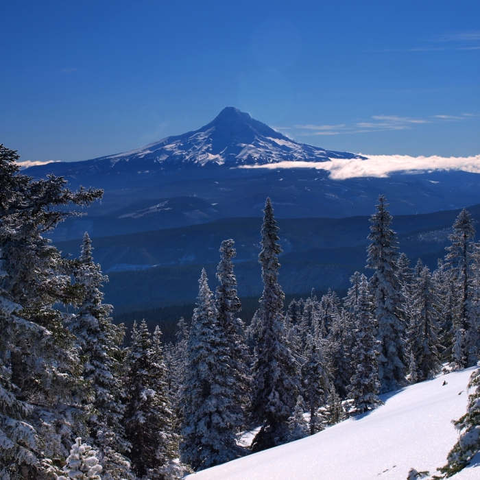
Ready to explore this trail?
View Trail Map in AppRegional Classic
A must do route for the area handpicked by local experts.
A Climbing Permit ($20 for 3 days or $50 annual) is required above 9,500 feet, plus a free wilderness permit May 15–October 15. Winter parking needs a Sno-Park permit.
While technically allowed, bringing a dog to the summit of Mt. Hood is strongly discouraged. The mountain is a highly technical, glaciated climb with steep drops and falling ice, and navigating dogs through these hazards presents extreme dangers to the animal and other climbers
Path Type
There and Back
This is a mountaineering route, not a hike or scramble. Above the Hogsback ridge, the route climbs 40- to 50-degree snow and ice through the Old Chute to cross the bergschrund — splitting the crater headwall — before reaching the rim. Crampons, an ice axe, and solid self-arrest technique are mandatory here; many parties rope up, though rope-team falls have caused accidents here too. Check Climb Mode and Mountain Project for current conditions before attempting this climb.
The route starts and ends at Timberline Lodge (5,960'), reaching the summit at Mount Hood's high point (11,249').
From Timberline Lodge, follow the climbers' track up the west side of the Palmer snowfield to the top of the Palmer chairlift, about 2.5 miles in (8,540'). Continue past Illumination Saddle to Devils Kitchen beside Crater Rock, then follow the boot track up Hogsback ridge to about 10,700'.
Crux: At the top of the Hogsback, assess the bergschrund and the Old Chute above it — the preferred line shifts through the season and should be checked against current conditions before committing. Climb the chute's 40- to 50-degree snow and ice to cross the bergschrund and reach the crater rim; this is the technical core of the route, and solid self-arrest skill is non-negotiable here regardless of whether you rope up.
Continue a short distance along the rim to the true summit (11,249').
Descend the same route. The chute and snowfield below it grow crowded and rockfall-prone by midday, so an early start and a firm turnaround time are standard practice. A Climbing Permit and wilderness permit are both required above 9,500 feet; pick these up at the Wy'east Day Lodge before starting.
No Condition Reports
Pacific Coast Trail: Mount Hood Wilderness
Pacific Coast Trail: Mount Hood Wilderness
Mountaineer Loop Trail #798
Mountaineer Loop Trail #798
Paradise Park Loop 757 via Pacific Crest Trail
Paradise Park Loop 757 via Pacific Crest Trail
Timberline Lodge to Zig Zag Canyon
Timberline Lodge to Zig Zag Canyon
PCT: Timberline Lodge to Hwy 35 Out and Back
PCT: Timberline Lodge to Hwy 35 Out and Back
Government Camp Loop
Government Camp Loop
Contributors

