
Ready to explore this trail?
View Trail Map in AppPath Type
Point to Point
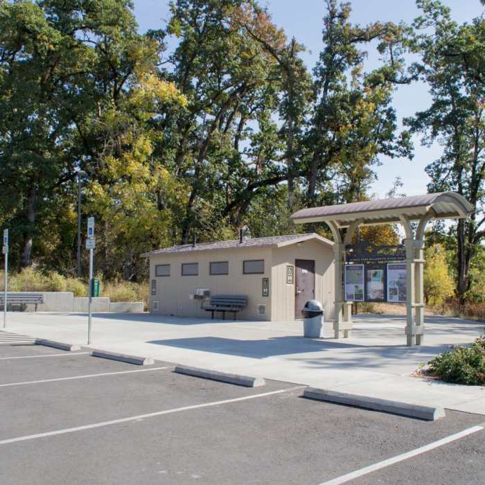
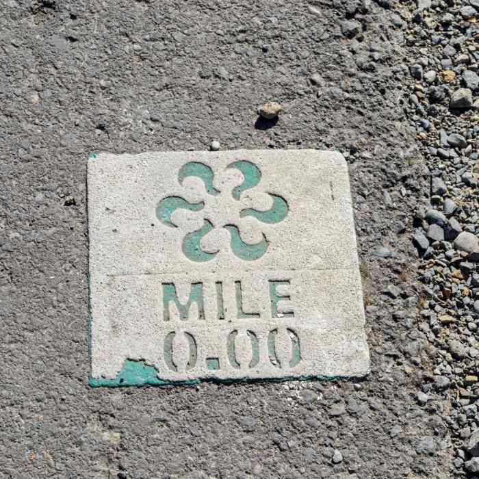
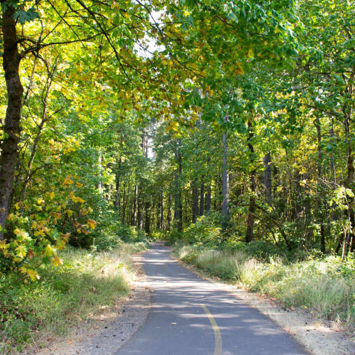
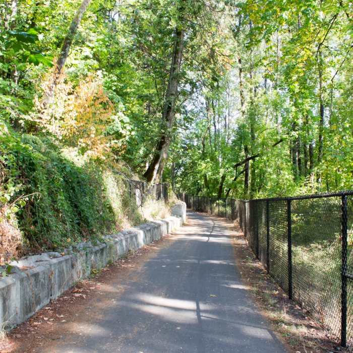
Connecting Dorris Ranch and Clearwater Park, the Middle Fork Path is an easy, multi-use trail along the Middle Fork of the Willamette River. The paved path is 4 miles long with a small picnic area located about halfway along the route near the Quarry Creek footbridge. Views of the river come and go as the path winds in and out of trees and private land. There are benches along the way for places to sit and listen to the flowing water or wind in the trees. The area is also popular for fishing and bird watching. The Middle Fork Path also connects with the Mill Race Path with access to downtown Springfield. There are restrooms and information signs with maps at either end of the path as well as the picnic area, which has a portable restroom.
No Condition Reports
Swing Hill
Swing Hill
Mt. Pisgah Summit from West Trailhead
Mt. Pisgah Summit from West Trailhead
Mount Pisgah Hike
Mount Pisgah Hike
Mount Pisgah Arboretum Hike
Mount Pisgah Arboretum Hike
North Access Trail
North Access Trail
Ridgeline Trail System: Dillard East Trailhead
Ridgeline Trail System: Dillard East Trailhead
Contributors

