
Ready to explore this trail?
View Trail Map in AppAvoid the trail during muddy seasons.
Path Type
Point to Point
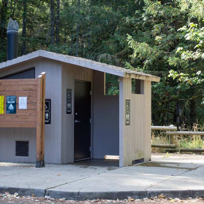
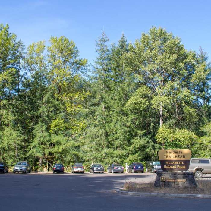
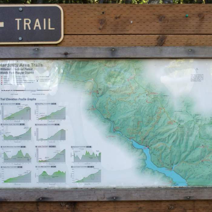
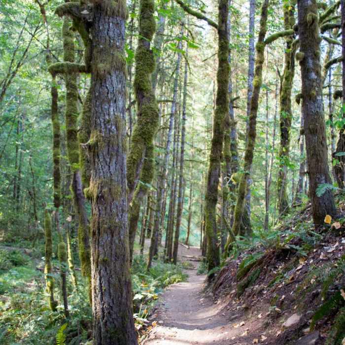
The Hardesty area trail system just outside of Eugene is a great place to explore the Willamette National Forest. The Goodman Creek Trial is a good for a long hike, but you won't be alone. Watch for other trail users such as mountain bikers and trail runners because it is a very popular spot for both. The Goodman Creek Trail starts a quarter mile from the Hardesty Mountain Trailhead. Watch for signs where the two trails diverge. The trail winds its way through the old-growth forests and up toward Eagles Rest. Small waterfalls can be found along the way by taking a few short trails down toward the creek. There are no good viewpoints on this section of the trail, but if you're willing to go a few extra miles you can connect with the Eagles Rest Trail for a view of the valley. After reaching the forest road there will be a small parking area and a trail sign leading up to Eagles Rest. Parts of the trail can be muddy and waterlogged depending on the season. There are a few log foot bridges along the trail. There is a vault toilet, picnic tables and a staging area for horses at the parking area.
No Condition Reports
Eagles Rest Trail
Eagles Rest Trail
South Willamette Trail Hike
South Willamette Trail Hike
Eula Ridge Hike
Eula Ridge Hike
Patterson Mountain via Lawler Trailhead
Patterson Mountain via Lawler Trailhead
Joe's Peak Trail
Joe's Peak Trail
Cloverpatch Trail Hike
Cloverpatch Trail Hike
Contributors

