
Ready to explore this trail?
View Trail Map in AppPath Type
Loop
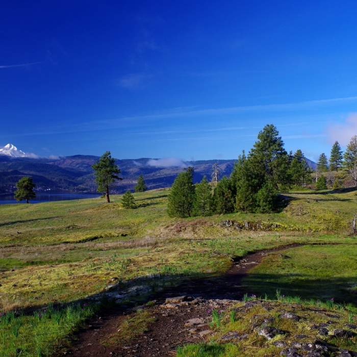
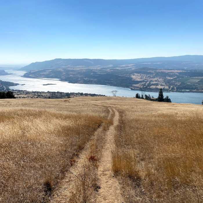
Pull over on the side of the road at the Catherine Creek Day Use Area and Trailhead and start the ascent right from the parking area. Hike up as high as you want (you'll be able to see the Spirit Quest Trail below you to the left [southwest] occasionally). We turned right near the top onto the Catherine Creek Trail - Atwood Road Connector and followed the Sunflower Hill Trail to Atwood Road and back through wildflowers down to the trailhead to make this into a loop.
No Condition Reports
Catherine Creek Hiking Trail
Catherine Creek Hiking Trail
Memaloose Hills Trail
Memaloose Hills Trail
Coyote Wall Hiking Trail
Coyote Wall Hiking Trail
Mosier Creek Falls + Plateau Trail
Mosier Creek Falls + Plateau Trail
HCRHT: Twin Tunnels Trail
HCRHT: Twin Tunnels Trail
Tom McCall Point Hike
Tom McCall Point Hike
Contributors

