Ready to explore this trail?
View Trail Map in AppRegional Classic
A must do route for the area handpicked by local experts.
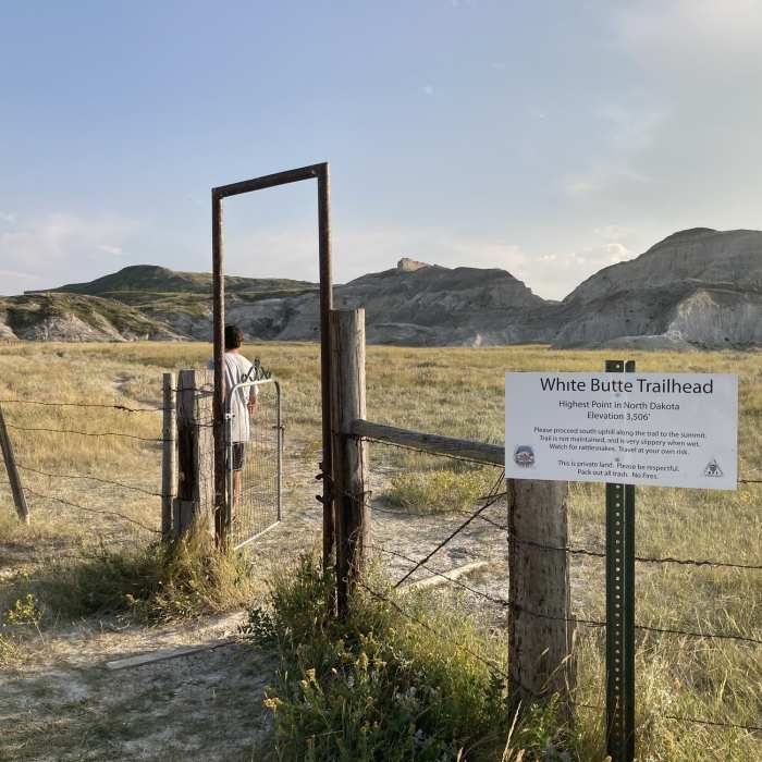
The route is located on private property. A cash donation is requested at the trailhead mailbox to support trail maintenance. Keep dogs on a leash, pack out all trash, and respect the active cattle ranching operations. No overnight camping is permitted.
Path Type
There and Back
This route starts and ends at the White Butte Trailhead after reaching the summit of White Butte, the highest point in North Dakota.
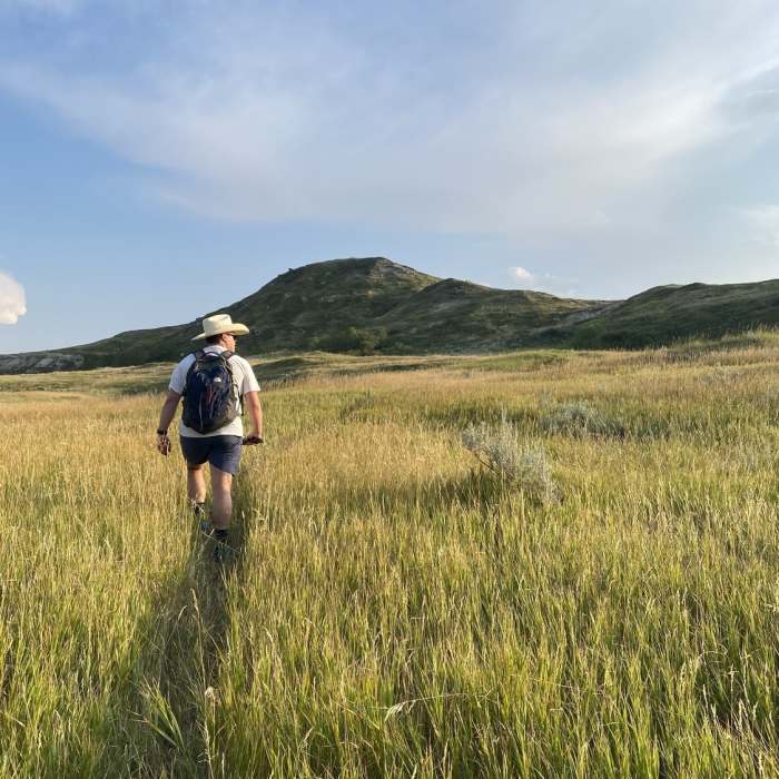
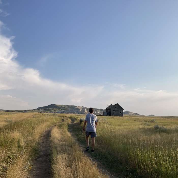
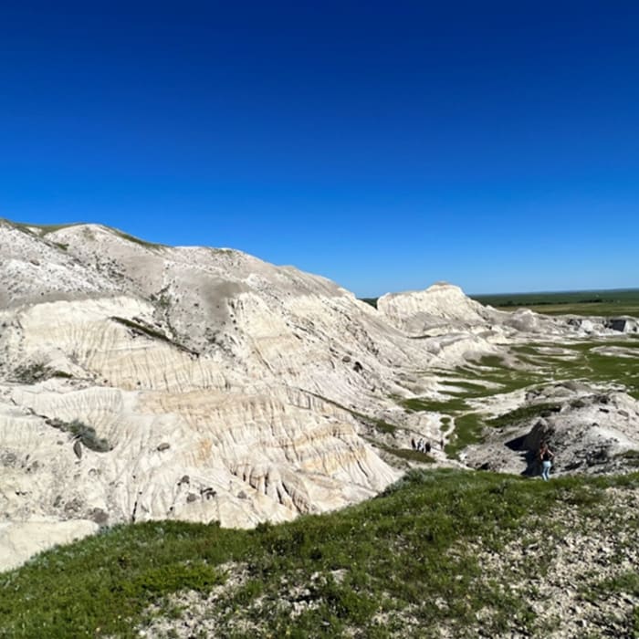
From the parking area, follow the trail south along the base of the buttes. The trail begins to ascend the clay slopes of the butte over the next 0.8 miles to reach the summit. The summit of White Butte is marked by a registry box and a metal monument.
Retrace your steps back to the trailhead.
No Condition Reports
Painted Canyon Nature Trail
Painted Canyon Nature Trail
Painted Canyon Visitor Center Trails
Painted Canyon Visitor Center Trails
Jones/Lower Talkington/Lower Paddock Loop
Jones/Lower Talkington/Lower Paddock Loop
Petrified Trail Loop
Petrified Trail Loop
Devils Pass via the Maah Daah Hey Trail
Devils Pass via the Maah Daah Hey Trail
Kate's Walk on the Maah Daah Hey Trail
Kate's Walk on the Maah Daah Hey Trail
Contributors

