Ready to explore this trail?
View Trail Map in AppPath Type
There and Back
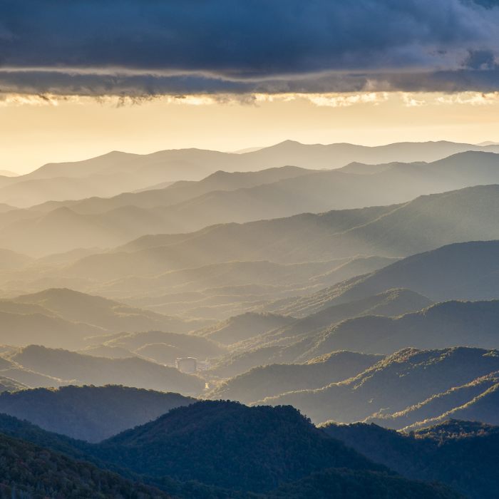
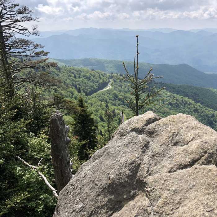
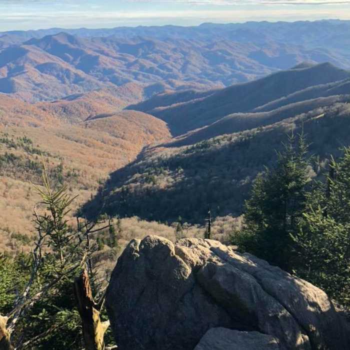
The hike to the summit is a 1.2-mile round-trip. It is a very steep climb and gains 412 feet in elevation. Great views are available along the way to the summit. Don't let the paved first 0.25 miles of the trail fool you--it is steep but smooth and temporarily provides a respite from the climb with a small rock-walled viewing area overlook where you can catch your breath. The rest of the climb is steep and rocky. At the summit, there are various spots where you can get long-distance views, but not a total, 360 degree one. If it is a clear day, you can probably see 50 miles to the highest peaks in the Great Smoky Mountains. Between the Great Smoky Mountains and the Great Balsam Mountains is the Plott Balsams Mountains.
No Condition Reports
Pinnacle Park Tour
Pinnacle Park Tour
West Fork - East Fork loop
West Fork - East Fork loop
Grassy Ridge Mine Overlook (MST Section)
Grassy Ridge Mine Overlook (MST Section)
Hemphill Bald Loop
Hemphill Bald Loop
Oconaluftee River Trail + Mountain Farm Museum
Oconaluftee River Trail + Mountain Farm Museum
High Line Loop
High Line Loop
Contributors

