
Ready to explore this trail?
View Trail Map in AppRegional Classic
A must do route for the area handpicked by local experts.
No permit or fee is required. The route passes through the Jocassee Gorges Wildlife Management Area, where standard WMA regulations apply; check current hunting-season dates before hiking off-trail.
Path Type
There and Back
This route starts and ends at the Laurel Valley access point on US-178 near Rocky Bottom and reaches the Sassafras Mountain summit (3,553'), the highest point in South Carolina, for a round trip of about 8.4 miles.
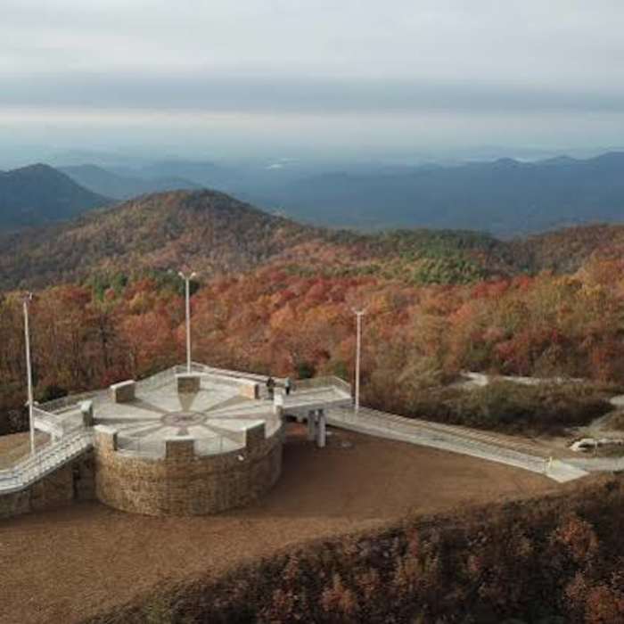
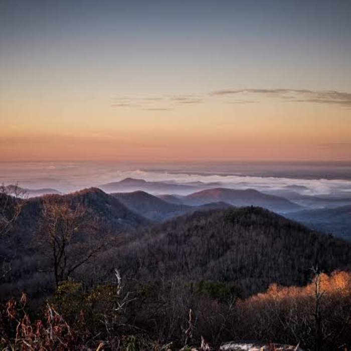
From the Laurel Valley parking area, follow the white-blazed Foothills Trail east into wooded terrain, climbing a series of built stairs known locally as the Horsepasture steps and passing rock outcrops along an old roadbed. At about 1.8 miles, the trail crosses the F. Van Clayton Memorial Highway at Chimneytop Gap. Continue on the Foothills Trail, passing Balancing Rock, a large boulder feature along the ridge, as the trail climbs steadily toward the crest. At 4.2 miles, the trail reaches the summit of Sassafras Mountain and its ADA-accessible observation tower, with a concrete viewing platform offering 360-degree views across the Blue Ridge Mountains into North Carolina, Georgia, and, on exceptionally clear days, Tennessee.
Return by retracing the same trail back to the Laurel Valley parking area.
No Condition Reports
Beech Bottom Falls
Beech Bottom Falls
Twin Falls
Twin Falls
Carrick Creek Trail
Carrick Creek Trail
Pinnacle Trail to Table Rock Loop
Pinnacle Trail to Table Rock Loop
Rainbow Falls + Turtleback Falls
Rainbow Falls + Turtleback Falls
Natural Bridge Trail
Natural Bridge Trail
Contributors

