



Ready to explore this trail?
View Trail Map in AppPath Type
There and Back
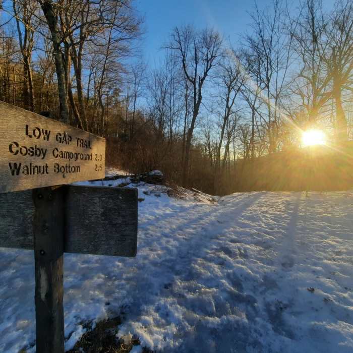
This route begins with three miles of the Low Gap Trail before connecting with the Appalachian Trail (AT). The Low Gap Trail section has the most elevation gain and a couple of easy streams to cross as it follows the side of the mountain. There are multiple cutbacks as you wind your way up to the Appalachian Trail (AT) which offer some nice views of the area through the trees.There is a small clearing at the Appalachian Trail (AT) junction and few large rocks which make a great resting spot. Once you start along the Appalachian Trail (AT) there is less elevation gain along the top ridge of the mountain. The trail is wooded and sometimes tunnel like until you reach the summit. There is some scrambling at the peak to climb to the lookout tower.This trail can also be done on horseback, and there is a tie up for the horses right before going out to the outcropping where the tower is.The summit of Mt. Cammerer sits on the edge of a rocky outcropping overlooking the Pigeon River Gorge at almost 5,000 feet.
The octagonal fire lookout at the summit of Mt. Cammerer was built in the late 1930s by the Civilian Conservation Corp.
No Condition Reports
Cosby Nature Trail
Cosby Nature Trail
Hen Wallow Falls
Hen Wallow Falls
Mount Cammerer
Mount Cammerer
Big Creek Trail to Mouse Creek Falls
Big Creek Trail to Mouse Creek Falls
Mt. Sterling Loop (Big Creek / Baxter Creek)
Mt. Sterling Loop (Big Creek / Baxter Creek)
Mount Sterling via Baxter Creek Trail
Mount Sterling via Baxter Creek Trail
Contributors

