Ready to explore this trail?
View Trail Map in AppRegional Classic
A must do route for the area handpicked by local experts.
Great Smoky Mountains National Park requires a parking tag for any vehicle parked longer than 15 minutes, anywhere in the park ($5 daily, $15 weekly, $40 annual). The lot fills early on weekends and during fall color season; the road is closed seasonally in winter, typically December through March, weather dependent.
Path Type
There and Back
This route starts and ends at the Kuwohi Trailhead parking area at the end of Clingmans Dome Road, covering 1.0 mile round trip with about 335 vertical feet of gain.
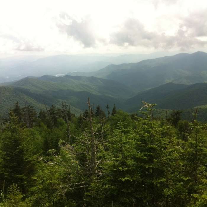
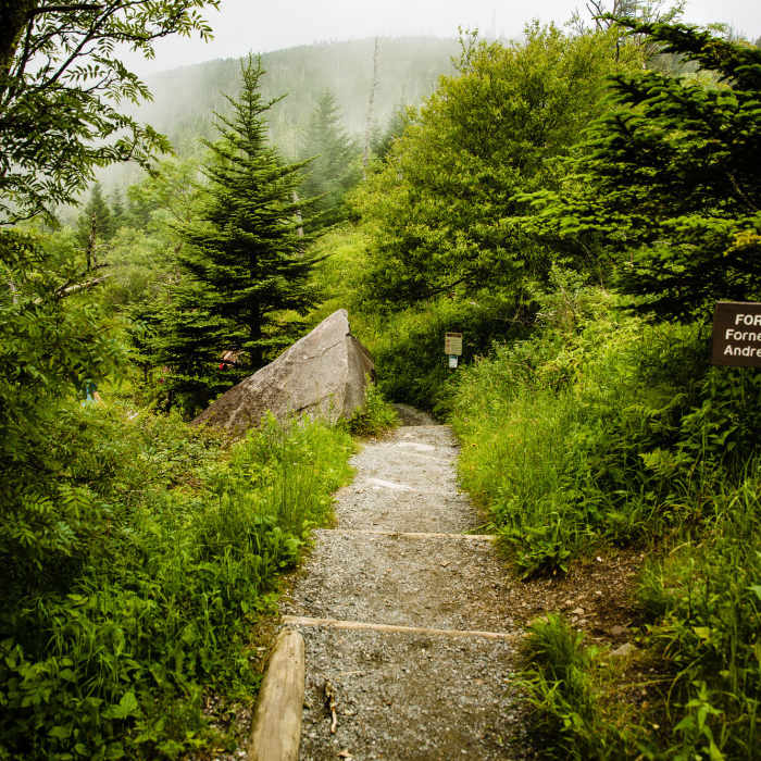
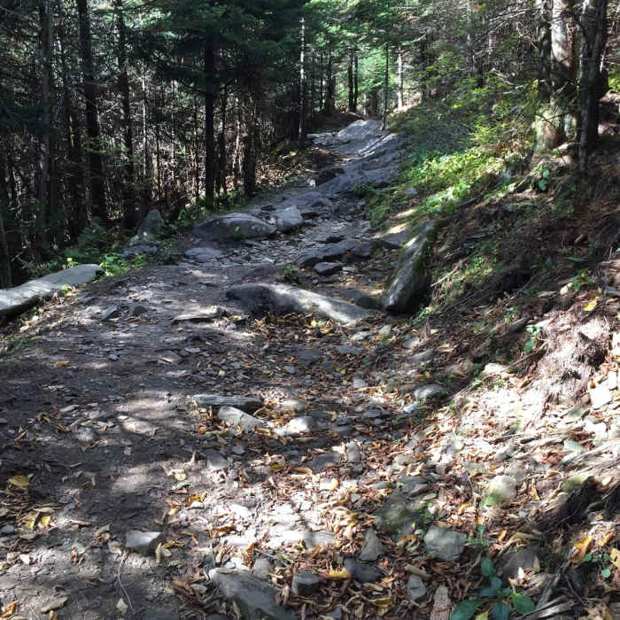
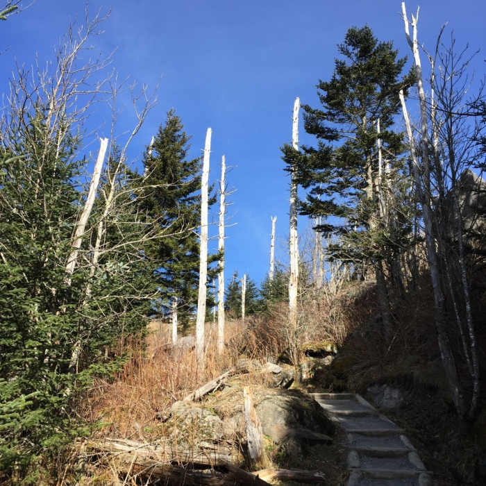
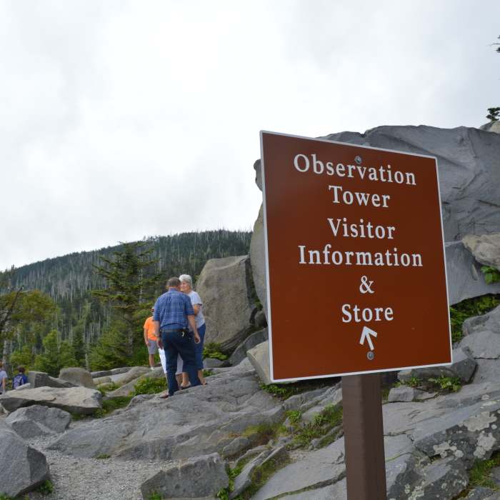
From the parking area, follow the paved path as it climbs immediately and steadily, with grades reaching 12 percent in places; benches are spaced along the way for those adjusting to the elevation. At 0.5 miles, the path reaches the base of the observation tower, an elevated concrete structure completed in 1959 and known locally as the "flying saucer." A spiral ramp leads up to the circular viewing platform at 6,643 feet, the highest point in Tennessee and the third-highest point in the eastern United States, with views extending across the Great Smoky Mountains into North Carolina on clear days.
Return by retracing the same paved path back to the parking area.
Some Issues
Some Issues
Some Issues
All Clear
Looking for more condition reports?
Andrews Bald Out and Back
Andrews Bald Out and Back
Silers Bald Loop
Silers Bald Loop
Mount LeConte via Trillium Gap + Boulevard Trail
Mount LeConte via Trillium Gap + Boulevard Trail
The Jump Off via The Appalachian Trail
The Jump Off via The Appalachian Trail
Charlie's Bunion
Charlie's Bunion
Alum Cave
Alum Cave
Contributors

