Ready to explore this trail?
View Trail Map in AppRegional Classic
A must do route for the area handpicked by local experts.
No permits or fees are required for day hikes in the Sentinel Range Wilderness. All hikers must sign the trail register at the River Road trailhead kiosk. Parking is free but limited to a small roadside pull-off accommodating approximately 6 vehicles.
Path Type
There and Back
This trail-less bushwhacking objective begins and ends at the Monument Falls parking area along NYS Route 86, after reaching the summit of Sentinel Mountain.
From the parking area, cross the highway and be on the lookout for an unmarked, unmaintained trail. Head northeast through the relatively flat, forested valley for approximately 1.0 mile. Around the 1.0 mile mark, turn right to head southeast towards the base of the Kilburn Slide and begin a steep, trackless ascent up the slide. Upon reaching the top of the slide, find the path of least resistance and begin bushwhacking southeast, down the slope, and up the ridgeline towards the Kilburn Mountain summit. GPS and compass navigation are required as there is no marked trail or herd path. Reach the wooded summit of Kilburn Mountain around 2.4 miles, which is marked by a canister.
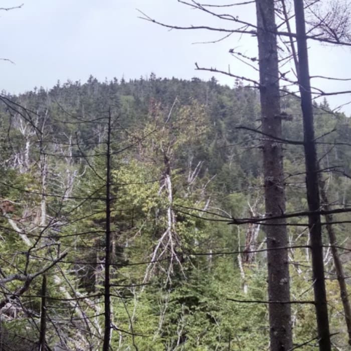
From the summit of Kilburn Mountain, descend off of the ridge to the northeast, continuing to bushwhack across the valley between Kilburn and Sentinel. Navigate steep terrain, blowdown and cripplebrush along the way. Begin climbing again to the east, following Sentinel Mountain's western ridge to reach the summit, after approximately 3.9 miles. The summit is wooded with limited views, though selective lookouts along the ridge offer glimpses of the surrounding High Peaks.
Retrace your steps carefully on the descent, using GPS or a compass to help guide you back up and over Kilburn, and back to the trailhead.
No Condition Reports
Kilburn Mountain
Kilburn Mountain
Copperas Pond Trail
Copperas Pond Trail
Whiteface Landing
Whiteface Landing
Connery Pond
Connery Pond
Cobble Hill
Cobble Hill
Stag Brook Trail
Stag Brook Trail
Contributors

