Ready to explore this trail?
View Trail Map in AppRegional Classic
A must do route for the area handpicked by local experts.
Parking is free, and no permits or fees are required for day use, though all hikers must sign in at the trailhead register. Wilderness regulations apply within the High Peaks Wilderness.
Path Type
There and Back
This route begins and ends at the trailhead off of Santanoni Road, after reaching the summit of Santanoni Peak.
From the Santanoni Trailhead, follow the road to the west. At 1.7 miles, turn right and follow the Bradley Pond Trail north along an old gravel road, crossing several small streams. At 3.5 miles, turn left onto the unmarked Santanoni Peak herd path. Cross Santanoni Brook, which can be difficult during high-water periods, and begin a sustained ascent paralleling the brook. The herd path climbs steeply over rocky, eroded terrain. At 4.8 miles, approach the ridge, bypassing the Santanoni Trail on the right, that feeds in from Panther Peak to the north.
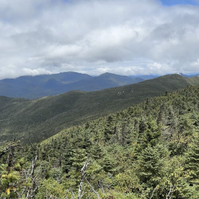
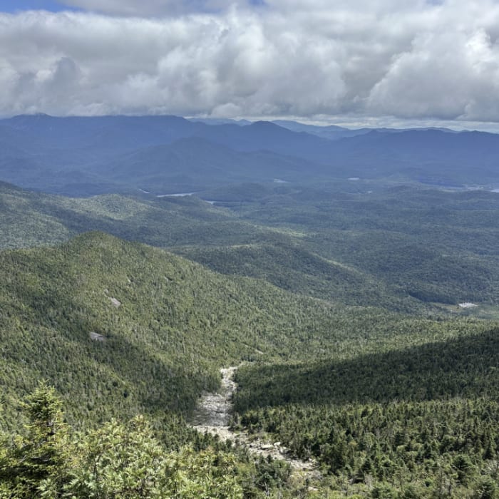
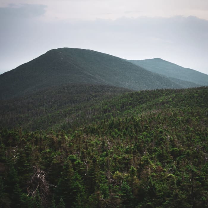
Near the ridge, the grade eases slightly before reaching the wooded, 4,607' summit of Santanoni Peak at 4.9 miles, where pocketed viewpoints offer lookouts toward the Santanoni Range and High Peaks Wilderness.
Retrace your steps to return to the trailhead.
No Condition Reports
Couchsachraga Peak
Couchsachraga Peak
Henderson Mountain
Henderson Mountain
Panther Peak
Panther Peak
Allen Mountain
Allen Mountain
Mount Marshall via Upper Works
Mount Marshall via Upper Works
Upper Works to Adk
Upper Works to Adk
Contributors

