

Ready to explore this trail?
View Trail Map in AppRegional Classic
A must do route for the area handpicked by local experts.
A daily fee is required to park at the Garden Trailhead. The parking lot is extremely limited and fills early on weekends from spring through autumn; a shuttle operates on weekends from Marcy Field when the lot is full.
No permits are required for day hikes. Wilderness regulations apply within the High Peaks Wilderness.
Path Type
Loop
This route begins and ends at the Garden Trailhead after climbing Basin Mountain and Saddleback Mountain.
Begin at the Garden Trailhead, following the yellow-blazed Phelps Trail southwest for 3.1 miles to Johns Brook Lodge. Continue along Phelps Trail, passing by Big Slide Trail and Klondike Notch Trail that branch off to the right. At 4.8 miles, reach an intersection with Hopkins Trail and Bushnell Falls and keep straight to continue on Phelps Trail.
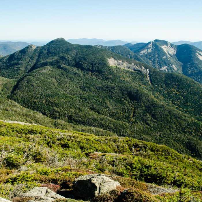
At 6.5 miles, branch off to the left and begin climbing up the Shorey Shortcut Trail. The Shorey Shortcut Trail drops down to intersect with the State Range Trail at 7.4 miles. Turn left and begin the steep climb towards Basin Mountain, climbing up a step ladder along the way. Reach Basin Mountain at 8.0 miles. Continue along the State Range Trail to descend from Basin Mountain towards the Saddleback Cliffs.
Crux: The Saddleback Cliffs are a series of exposed slabs and ledges on the west face of Saddleback Mountain, rising above the col between Basin Mountain and Saddleback Mountain. The cliffs form the most technically demanding section of the Great Range trail, requiring Class 3 scrambling on approximately 200 feet of steep, open rock.
After scrambling up the Saddleback Cliffs, reach the summit of Saddleback Mountain at 8.8 miles. Descend the east side of Saddleback Mountain. Turn left at 9.2 miles onto the Ore Bed Brook Trail, following Ore Bed Brook to the northeast, towards the Johns Brook Valley. At 11.5 miles, reach an intersection with the Woodsfall Trail on the left - keep straight. At 11.9 miles, turn left to cross over Johns Brook. At 12.0 miles, reach the Phelps Trail again and turn right.
Retrace your steps along the Phelps Trail to return to the Garden Trailhead.
No Condition Reports
Big Slide Via The Brothers
Big Slide Via The Brothers
Mount Haystack
Mount Haystack
Haystack, Basin + Saddleback Mountain Lasso Loop
Haystack, Basin + Saddleback Mountain Lasso Loop
Adirondack Great Range
Adirondack Great Range
The Great Range Traverse
The Great Range Traverse
Mossy Cascade
Mossy Cascade
Contributors

