Ready to explore this trail?
View Trail Map in AppPath Type
There and Back
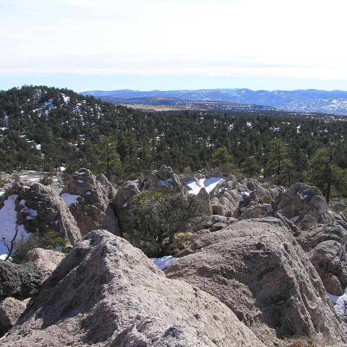
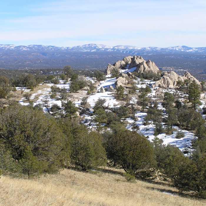
The trail starts behind the Gila Visitor Center (not at the road's end near the cliff dwellings). Follow the Middle Fork Gila River Trail #157 for approximately 2 miles until it intersects with trail #27. Follow trail #27 out of the river canyon and up to North Mesa in a northeast direction. Once on North Mesa trail #27 will intersect with trail #804. Continue in a northwest direction on trail #27 instead of continuing northeastward on trail #804. At the southern end of the valley which has the Whiterocks formation at its head (near the Whiterocks water tanks) you have two options: 1) continue northwest on trail #27 until it intersects trail #771, follow trail #771 northeastward until you are on the ridge which contains the Whiterocks formation or 2) take off cross country up the valley straight towards the Whiterocks formation (the valley is grassland with sparse pinyon pines throughout).
No Condition Reports
Jordan Hot Springs Hike
Jordan Hot Springs Hike
Whiterock Adobe Canyon Loop
Whiterock Adobe Canyon Loop
Little Bear Canyon Hike
Little Bear Canyon Hike
Gila Cliff Dwellings Hike
Gila Cliff Dwellings Hike
CDT: Gila River Alternate (Part 2)
CDT: Gila River Alternate (Part 2)
Continental Divide Trail: Cliff Dwellings + High Route Alternate
Continental Divide Trail: Cliff Dwellings + High Route Alternate
Contributors

