Ready to explore this trail?
View Trail Map in AppDue to previous flood damage, the trail beyond Upper Falls is closed to rxhers.
Path Type
There and Back
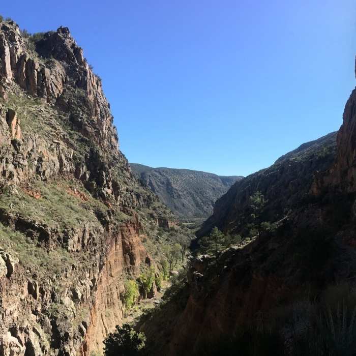
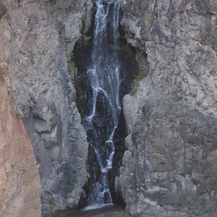
Hike southeast from the visitor center along the paved area past the "Backpacking Parking" until you see the trail cutting off on the right. The stream that runs past the visitor center is all that goes down the falls, and even though it doesn't look like much, the waterfall is great. It is a very well maintained trail with some slightly steeper sections, but nothing difficult. At the end, you'll get a great view looking down on the Upper Falls, towering nearly 80 feet in length. You'll also get great views of the canyon on the way there, and an excellent view out of the canyon as well. A large portion of the trail is packed dirt and is wide enough for two people to hike side-by-side. A few portions are narrower and are singletrack. At this time (10/2017), the trail ends at the lookout over the Upper Falls. Some trail maps and descriptions indicate that the trail continues to the Lower Falls and then onto the Rio Grande; however, due to previous flood damage, the trail beyond Upper Falls is closed to hikers.
Overall, Bandelier National Monument has some very interesting history!
No Condition Reports
Shrine of the Stone Lions AKA Yapashi Pueblo Ruins
Shrine of the Stone Lions AKA Yapashi Pueblo Ruins
Main Loop Nature Trail
Main Loop Nature Trail
Nature Trail
Nature Trail
Alcove House Trail
Alcove House Trail
Los Alamos County Low Point to High Point
Los Alamos County Low Point to High Point
Canada del Buey - Rio Grande Overlook
Canada del Buey - Rio Grande Overlook
Contributors

