Ready to explore this trail?
View Trail Map in AppSometimes closed due to wildfire conditions, usually open year-round. Snowpacked during the heavy winter months.
Path Type
Point to Point
Devisadero Loop Trail is typically usable from April until November, or earlier/later during a dry year. The trailhead is across Highway 64 from the El Nogal parking area, a few steps east of the Taos welcome sign.
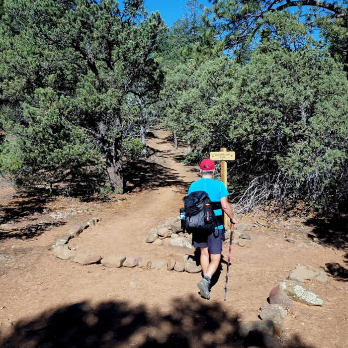
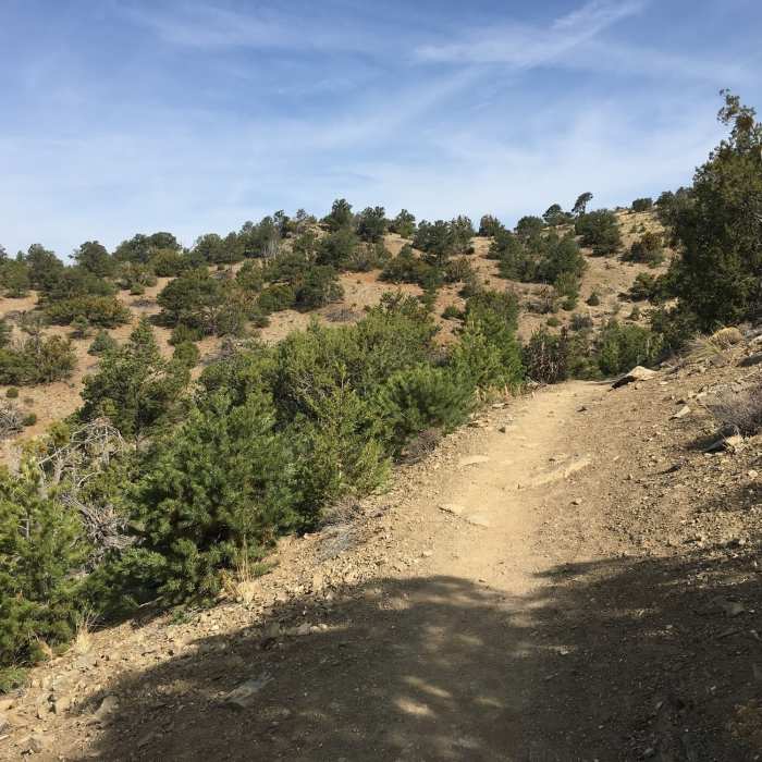
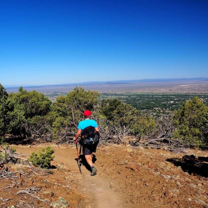
It begins with a steep climb up the arid mountainside amid pinon and juniper forests. The first half mile indicates the nature of the rest of the trail; rocks and obstacles occur between short smooth sections of classic New Mexico singletrack. At 0.1 mile the trail graces a power line cut, then crosses this cut at 0.2 miles, then at 0.6 miles the trail splits. There is a sign here and this is where the loop begins.
The eastern route (to the right) ascends the southerly aspects of Devisadero Peak; this side is steeper, rockier, and provides a more direct route to the summit via a series of loose switchbacks. The western route is longer and slightly less rugged as it meanders through douglas and white fir forest towards the summit. Hiking the loop either way will yield a modest amount of mixed smooth and variable singletrack.
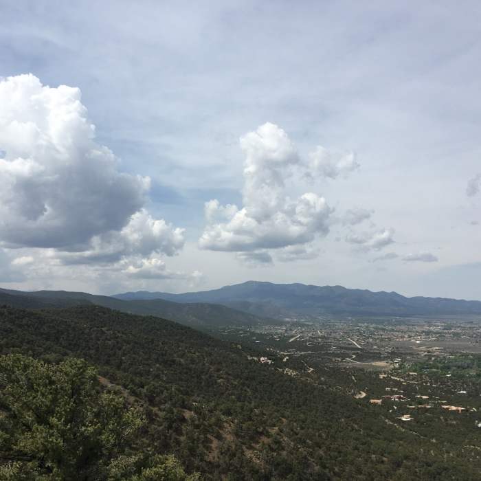
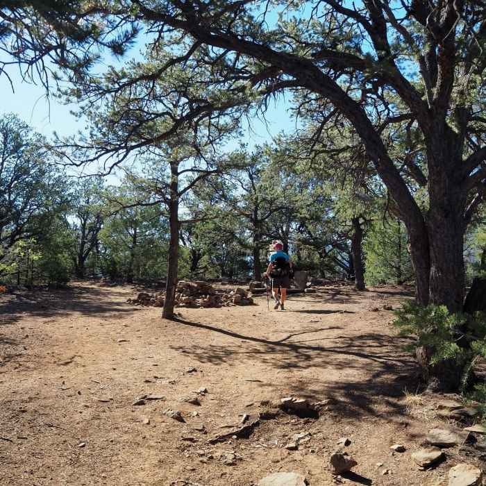
There are several scenic points along each side with views of Taos and the Rio Grande valley to the west, and Taos Canyon to the south. The trail tops out close to 8,300' at the top of Devisadero Peak. This flat summit is a great spot to rest on the stone thrones and watch the butterflies and small forest creatures do their thing, while preparing for the descent.
When hiking the loop counterclockwise the junction with the Capulin Trail aka the North Boundary is 0.3 miles down from the summit. Watch for a Forest Service sign here where the Devisadero Trail makes a sharp left turn and the North Boundary continues to the right.
As with most trails close to town this one is heavily used so be stay alert, as visibility is limited by trees and sharp turns. There is no water along the route, and it gets hot during the middle of the day.
All Clear
Lizards and some loose rock.
Looking for more condition reports?
La Vista Verde Trail
La Vista Verde Trail
Elliot Barker Loop
Elliot Barker Loop
Williams Lake Trail #62
Williams Lake Trail #62
Wheeler Peak via Williams Lake
Wheeler Peak via Williams Lake
Wheeler Peak Trail #90
Wheeler Peak Trail #90
West Fork Rio Santa Barbara
West Fork Rio Santa Barbara
Contributors

