Ready to explore this trail?
View Trail Map in AppDogs must be leashed from March 15 - July 15. No fires allowed.
Path Type
Point to Point
Take the dirt road heading off to the right from the lower parking area. The road is marked as such, but the sign will be hard to find, especially in the Summer months, just use the Mobile App to navigate.
From there, continue southwest, bypassing the less-obvious looking offshoots, and follow the road's bend to the northwest. Eventually, you'll reach Copple Crown Trail proper, and the trail is quite obvious from there.
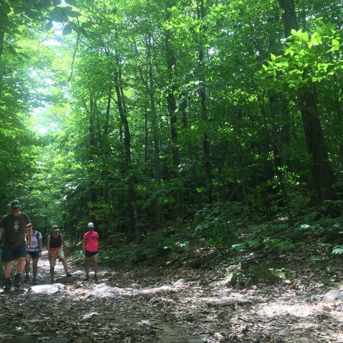
Like most dirt roads in New England, this section involves wide tracks filled with cobble-sized rocks, poor drainage (read standing water), and undulating terrain. In addition, the road is lined by stone walls historically used to delineate farming properties.
No Condition Reports
Copple Crown
Copple Crown
Devil's Den Mountain
Devil's Den Mountain
Mount Major Loop
Mount Major Loop
Pine Mountain Loop
Pine Mountain Loop
Belknap Mountain via East Gilford Trail
Belknap Mountain via East Gilford Trail
Contributors

