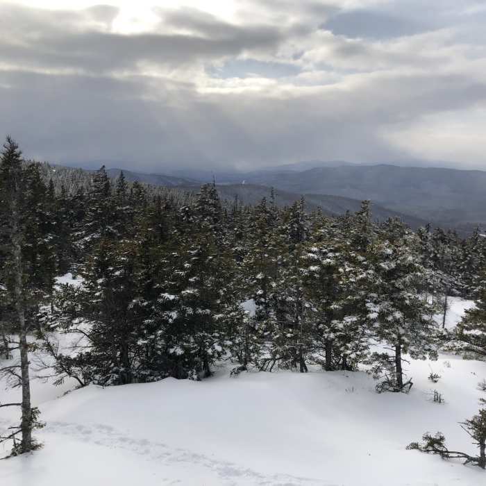
Near Wentworth Trail
Peak of Mount Israel via Wentworth Trail
Near Wentworth Trail
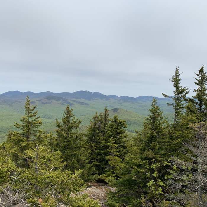
View from summit of Mt. Israel
Near Wentworth Trail
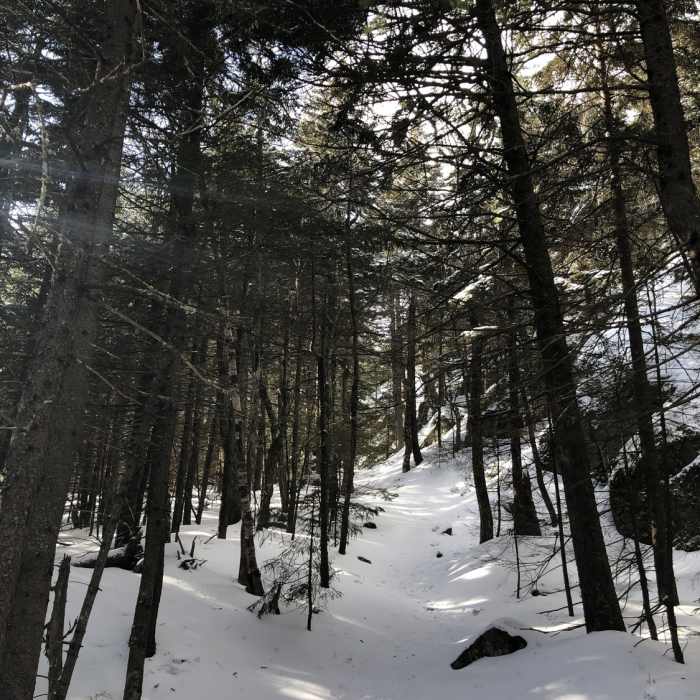
Wentworth Trail
Near Wentworth Trail
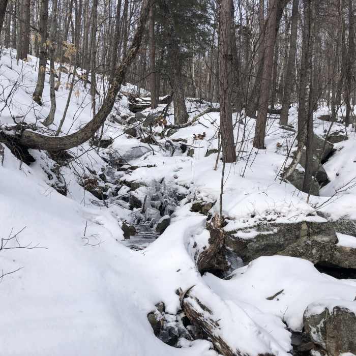
Wentworth Trail stream crossing

Looking for more photos?

View All Photos
View Map
Driving Directions
Hike Trail
Buy NowView in 3D

Wentworth Trail

4.3 (3 Ratings)
1.8
mi
Distance
1,697
ft
Gain
strenuous
Difficulty
LakeViews
Access Issues
Trailhead is down a couple miles of narrow dirt roads, exercise caution.

Route Details

Flatter
Steeper
1.8mi
Distance
1,697ft
Elevation Gain
39ft
Elevation Loss
30%
Max Grade
2,613ft
High Point
944ft
Low Point
Path Type
Point to Point
Description
A solid trail with rewarding western views from the top and a good portion of the way up views to the east of squam lake in winter. Generally on the steep side but not too bad if taken slow. Follow the yellow markers, generally visible, sometimes spaced a bit far apart. Several minor water crossings 0.3 to 0.7 miles. Steeper sections from 0.9 to the 1.5 then at roughly 1.55 get much flatter. Nice viewpoint 1.4 miles in (1350 ft up). Then partial western views 1.75 to the top.

Route Conditions

Report Conditions
Anonymous Adventurer
All Clear
Looking for more condition reports?
View History

Nearby Hike Routes

Rattlesnake

Hike Route

Rattlesnake

Birding
moderate
1.73 mi
+397 ft
Squam Range Extended Loop Hike via Crawford Ridgepole Trail

Hike Route

Squam Range Extended Loop Hike via Crawford Ridgepole Trail

Lake
extreme
13.05 mi
+3,491 ft
Pine Flat, Yellowjacket and Tri-Town

Hike Route

Pine Flat, Yellowjacket and Tri-Town

easy
3.25 mi
+454 ft
Smarts Brook to Atwood Pond

Hike Route

Smarts Brook to Atwood Pond

moderate
4.64 mi
+667 ft
Red Hill Fire Tower via Red Hill + Cabin Trails

Hike Route

Red Hill Fire Tower via Red Hill + Cabin Trails

Lake
moderate
3.35 mi
+1,356 ft
Welch-Dickey Mountain Loop

Hike Route

Welch-Dickey Mountain Loop

Fall Colors
strenuous
4.02 mi
+1,803 ft
Contributors
Marshall Bronfin
