

Ready to explore this trail?
View Trail Map in AppPath Type
Point to Point
Hike 93 miles from the New Hampshire border in Ashburnham to the Connecticut Border in Douglas.
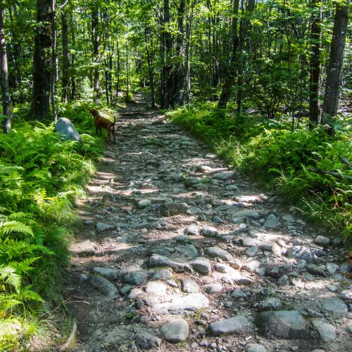
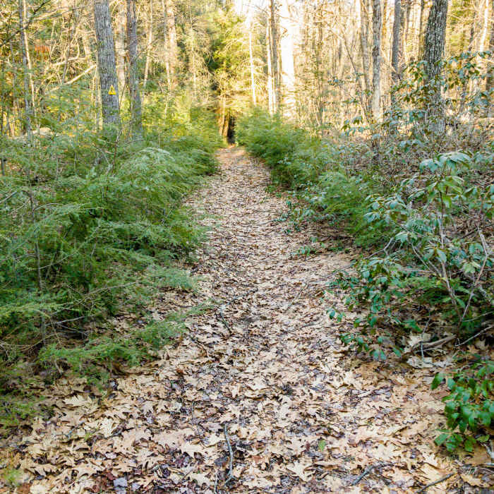
Includes wooded singletrack, fire access roads, asphalt roads, public forests, audubon lands, private property, dams, lakes, levees, fields, a ski-mountain, a disc golf course, and shelters.
Midstate Trail: East Hill Road, Rutland to Route 9, Spencer
Lots of doubling back. Section(s) where trail crosses through 4H camp has recently been clear cut and trail is hard to follow. Some of the trail that travels through private property would be harder to traverse in the summer as brush would be a problem.
No Condition Reports
Wapack and Back
Wapack and Back
Mount Watatic and Nutting Hill Loop
Mount Watatic and Nutting Hill Loop
Wapack Trail to Mount Watatic and Pratt Mountain
Wapack Trail to Mount Watatic and Pratt Mountain
Contributors

