

Ready to explore this trail?
View Trail Map in AppNo permit required. Parking at The Basin trailhead is shared with sightseers visiting The Basin itself and can fill by mid-morning on summer weekends and during fall foliage season. The Kinsman Pond Trail's streambed sections are rocky and can be slick when wet. The Kinsman Pond Shelter and campsite require a backcountry camping fee if used overnight.
Path Type
There and Back
This route starts and ends at The Basin trailhead off the Franconia Notch Parkway, reaching South Kinsman Mountain by a longer, quieter approach that avoids the Fishin' Jimmy Trail's ladders entirely.
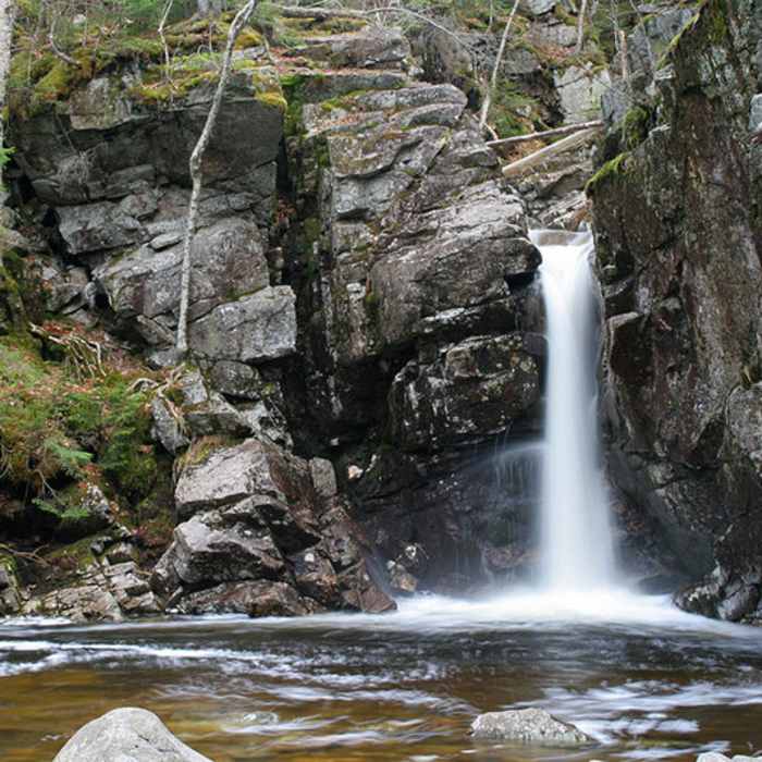
From the trailhead, follow the Basin-Cascades Trail alongside Cascade Brook for about 0.9 miles, passing Kinsman Falls and Rocky Glen Falls, to the junction with the Cascade Brook Trail. Continue a short distance on the Cascade Brook Trail to the start of the Kinsman Pond Trail at 1.4 miles. Bear left and climb steadily up a rocky, sometimes wet streambed for roughly 2 miles to Kinsman Pond, a shallow, boggy tarn tucked beneath North Kinsman's cliffs, then continue past the AMC's Kinsman Pond Shelter and campsite for another 0.2 miles to Kinsman Junction, where the trail meets the Kinsman Ridge Trail (Appalachian Trail).
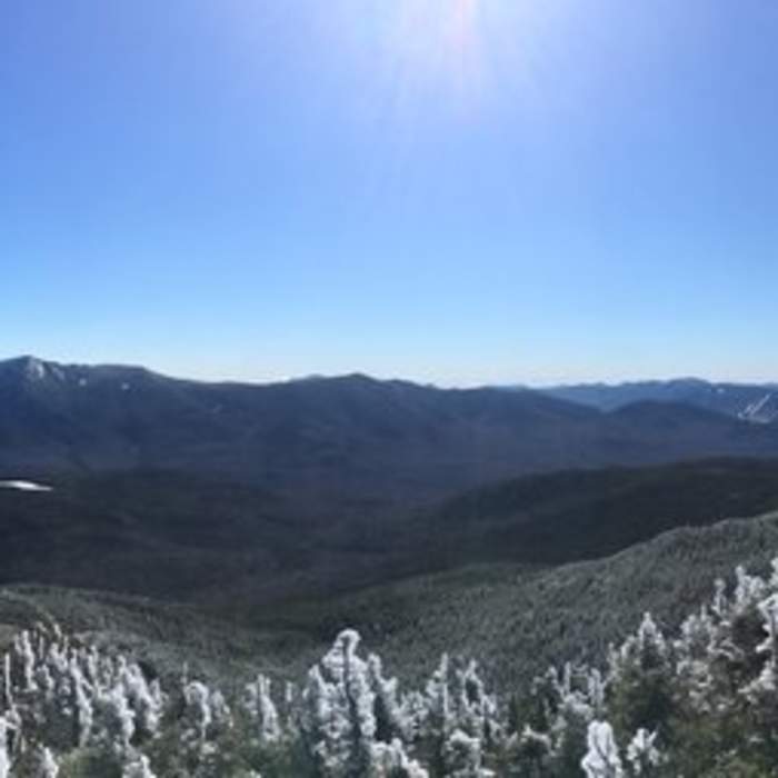
Turn left (south) and climb about 0.5 mile to North Kinsman's wooded summit, then continue south, dropping into a shallow col before climbing again to South Kinsman's open, cairn-marked summit roughly half a mile beyond.
Retrace the entire route to return to The Basin.
No Condition Reports
Lonesome Lake via Basin Cascade + Cascade Brook Trails
Lonesome Lake via Basin Cascade + Cascade Brook Trails
Mount Flume + Mount Liberty Loop
Mount Flume + Mount Liberty Loop
Mount Pemigewasset
Mount Pemigewasset
Cannon-Lonesome Loop
Cannon-Lonesome Loop
Lonesome Lake Trail
Lonesome Lake Trail
South Kinsman Mountain via Lonesome Lake and Kinsman Ridge
South Kinsman Mountain via Lonesome Lake and Kinsman Ridge
Contributors

