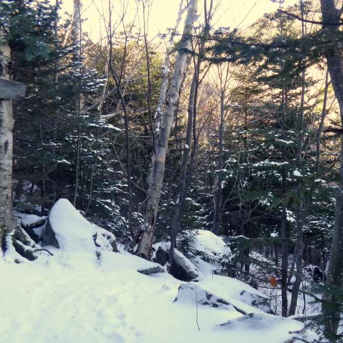
Near Passaconaway Cutoff
End of the trail at the Junction with the Square Ledge Trail
Near Passaconaway Cutoff
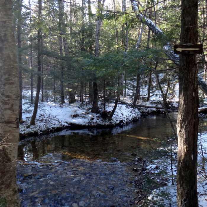
Crossing the West Branch of the Olivarian Brook
Near Passaconaway Cutoff
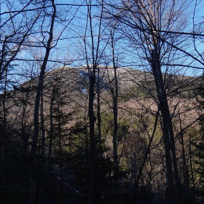
View of Mt. Passaconaway.

Looking for more photos?

View All Photos
View Map
Driving Directions
Hike Trail
Buy NowView in 3D

Passaconaway Cutoff

2.0 (1 Rating)
A moderate trail used to hike to Mt. Passaconaway from the Kancamagus Highway.
1.6
mi
Distance
1,110
ft
Gain
strenuous
Difficulty

Route Details

Flatter
Steeper
1.63mi
Distance
1,110ft
Elevation Gain
18ft
Elevation Loss
25%
Max Grade
2,579ft
High Point
1,487ft
Low Point
Path Type
Point to Point
Description
The trail starts at the Oliverian Brook Trail and follows an old logging road until it crosses the West Branch of the Oliverian Brook. The brook is not deep at the crossing, but it is not bridged and requires stepping on small, often submerged stones. After the crossing, the trail steepens and eventually joins the Square Ledge Trail. The trail is not difficult, but it is a long steady climb.

Route Conditions

Report Conditions
No Condition Reports
Report Conditions

Nearby Hike Routes

Hedgehog Mountain

Hike Route

Hedgehog Mountain

Views
moderate
4.44 mi
+1,484 ft
Mt. Chocorua - Champney Falls Route

Hike Route

Mt. Chocorua - Champney Falls Route

Fall Colors
strenuous
6.98 mi
+2,317 ft
North and Middle Tripyramid

Hike Route

North and Middle Tripyramid

Views
strenuous
10.17 mi
+3,217 ft
Mount Whiteface via Blueberry Ledge Trail

Hike Route

Mount Whiteface via Blueberry Ledge Trail

Views
strenuous
7.36 mi
+3,018 ft
Boulder Loop Trail

Hike Route

Boulder Loop Trail

Fall Colors
moderate
2.83 mi
+942 ft
Table Mountain

Hike Route

Table Mountain

Views
moderate
2.79 mi
+1,160 ft
Contributors
Randy Hill
