Ready to explore this trail?
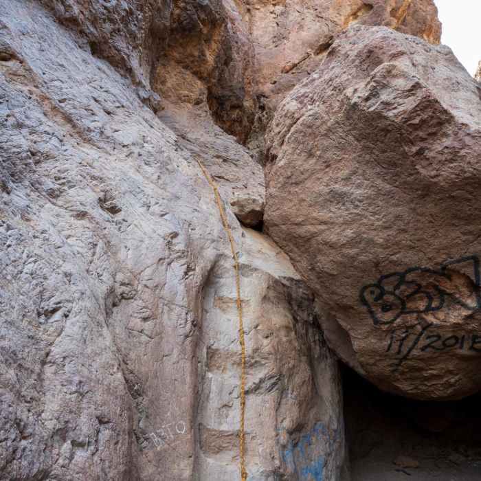
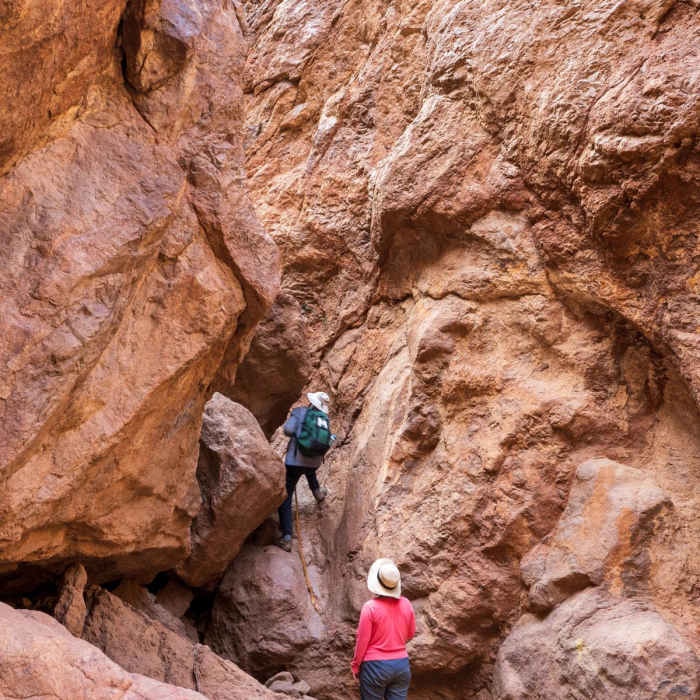
View Trail Map in AppYou must be able to pull yourself up a 6-foot rope. Your feet will get wet as some of the hiking is through streams of water. This trail is closed from May 15, 2016 through September 30, 2016 due to the heat.
Path Type
Point to Point
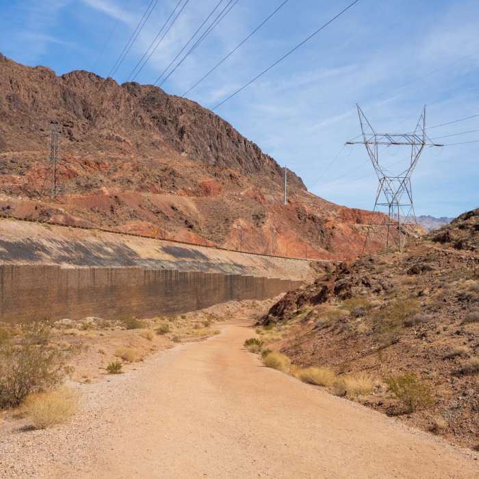
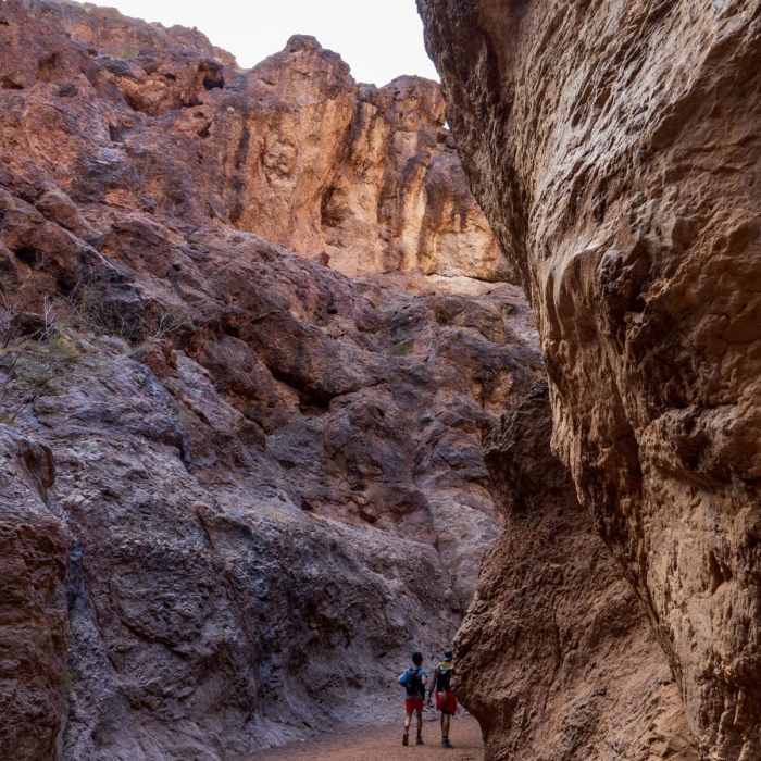
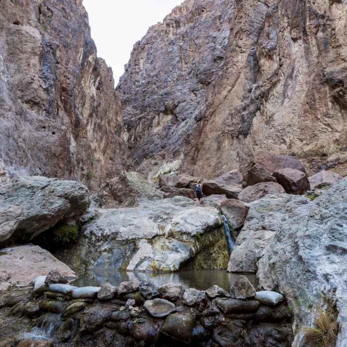
Goldstrike Canyon is a fun and challenging hike that leads to a pair of hot springs and the Colorado River. The trail involves a lot of fairly easy boulder scrambling, with ropes in place to help you get up and down the more difficult spots. The hot springs are wonderful for soaking in, and the Colorado River is a calm and peaceful end to the trail. You'll even get a unique view of the Mike O'Callaghan - Pat Tillman Memorial Bridge from here.The beginning of the trail isn't all that exciting as it enters into a wash and noise from the nearby interstate traffic is clearly audible. But before long the trail drops deeper into the canyon and the sights and sounds of civilization vanish. The sandy wash that the upper trail passes through is tiring on the lower legs, especially on the way back up.Before too long you'll come to your first obstacle, a large boulder jam that is easily passible by hiking on the left side of the canyon. In this area (as well as others) there are arrows spray painted onto the rocks indicating the easiest pathway through. Keep an eye out for these as they will make your journey easier.As you continue down the canyon the terrain gets tougher. You'll find many areas with ropes installed to help you down the rocks. Keep in mind that everything you go down here you will have to go back up on the way out, so if you feel out of your comfort zone there is no shame in turning around early.The hot springs area appears after the hardest of the boulder scrambling. There is a smaller upper pool, and a larger lower pool (with small waterfall) a short distance down the canyon. Just beyond the lower pool is the Colorado River. Mellow and tame at this point, it makes a great place to go for a quick dip and cool off before enjoying the hot springs.When satisfied, return the way you came back up the canyon. Again, remember to save some energy for the way up - and also try to keep your shoes dry as it is much easier scrambling up the rocks in dry shoes vs. wet shoes!Please note that this trail is closed during the summer due to extreme heat.
No Condition Reports
Historic RR Tunnels, Hoover Dam, & Bridge
Historic RR Tunnels, Hoover Dam, & Bridge
Lone Palm Hike
Lone Palm Hike
Arizona Hot Springs (Ringbolt Hot Springs)
Arizona Hot Springs (Ringbolt Hot Springs)
Liberty Bell Arch
Liberty Bell Arch
River Mountain Trail
River Mountain Trail
Fortification Hill Hike
Fortification Hill Hike
Contributors

