
Ready to explore this trail?
View Trail Map in AppRegional Classic
A must do route for the area handpicked by local experts.
No permits or fees are required for overnight stays, but registration at the trailhead is mandatory. Wilderness regulations apply within the Absaroka-Beartooth Wilderness boundaries.
Path Type
There and Back
This route requires roped, technical climbing to reach the summit — it is not a hike or scramble. The crux comes near the top: a series of chimneys rated 4th class to low 5th class (depending on route finding), reached by crossing a permanent snow bridge, followed by an exposed final 200 feet on the summit block. A rope, harness, and rappel device are strongly recommended; most parties make two to three rappels on the descent. See onX Climb Mode and Mountain Project for detailed pitch-by-pitch beta before attempting this route.
The route begins and ends at the Mystic Lake Trailhead after reaching the summit of Granite Peak from the east ridge.
From the trailhead, head west on the West Rosebud Trail (#19), hiking 3.1 miles to the junction near the eastern shore of Mystic Lake. Turn left onto the Phantom Creek Trail (#17) and climb steeply up a series of switchbacks. At 6.1 miles, turn right to leave the established trail and ascend the steep slopes toward the Frozen-to-Death Plateau.
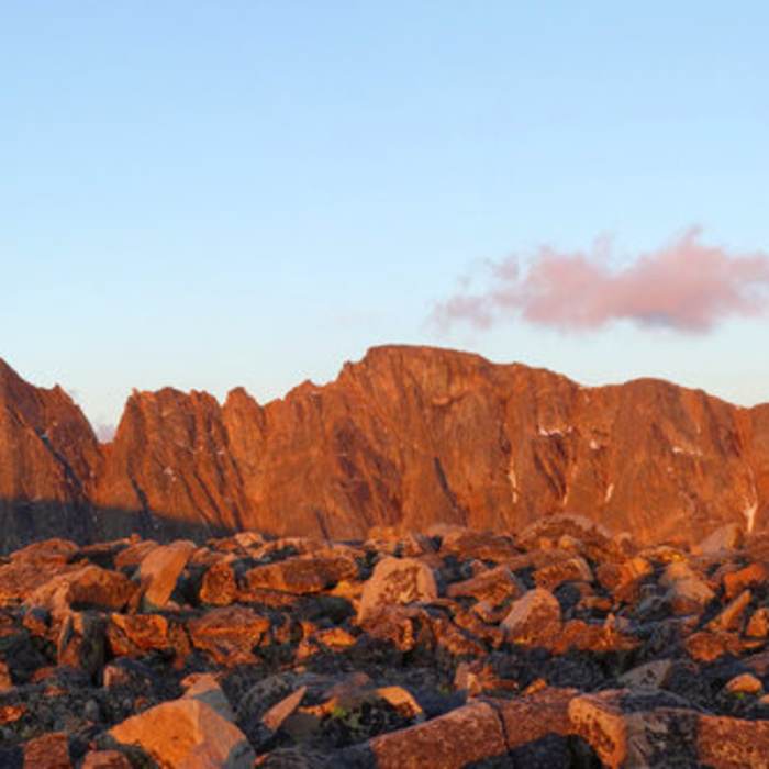
Upon reaching the plateau at approximately 10,000 feet, the trail fades, requiring cross-country navigation. Travel southwest across the barren, boulder-strewn plateau for about 5 miles, staying north and west of Tempest Mountain. Descend 600 vertical feet from the plateau into the Tempest-Granite saddle at 11,600 feet, which serves as a common high camp.
From the saddle, the final climb of the East Ridge begins. Navigate across the exposed 'Snow Bridge,' which can be icy and hazardous. The final 200 vertical feet require Class 3 and Class 4 rock scrambling up steep, exposed chimneys where many climbers use ropes and protection.
Crux: The standard East Ridge route's defining challenge is the upper south face above the snow bridge. Three consecutive Class 4 chimney pitches lead to an exposed notch; above it, Class 4+ crack climbing and sustained chimney moves ascend the summit pyramid, where poor route-finding quickly forces Class 5 terrain. The snow bridge — a narrow saddle notch with steep couloirs dropping away on both sides — may require an ice axe and crampons in early to mid-season. A rope is strongly recommended for the final 200' of the summit block and for descent rappels even for parties comfortable with Class 4 scrambling.
Retrace your steps back across the plateau and down the Phantom Creek and West Rosebud Trails to the trailhead.
No Condition Reports
Island Lake
Island Lake
Crow Lake
Crow Lake
East Rosebud Trail to Rimrock Lake
East Rosebud Trail to Rimrock Lake
The Beaten Path
The Beaten Path
Elk Lake
Elk Lake
Woodbine Falls
Woodbine Falls
Contributors

