Ready to explore this trail?
View Trail Map in AppBring bear spray. A persistent snowfield on the north side of Mt. Morgan can be tricky, but also can be avoided earlier in spring by heading down the ridgeline down to Cutbank Pass.
Path Type
Point to Point
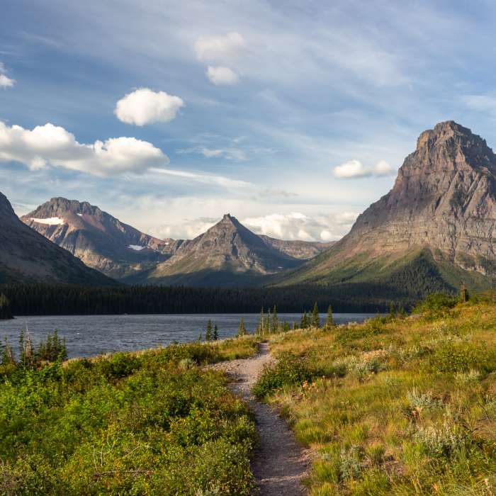
The trail starts at the campground in Two Medicine. It crosses Two Medicine Creek via a nice footbridge into some trees, briefly along the small Pray Lake, through some trees, then along the north shore of Two Medicine Lake.
The trail along the shore of Two Medicine Lake is a wonderful, level affair, bouncing between forest and avalanche chute giving you a nice balance of views and shade.
Near the head of the lake, the trail breaks off, works its way through a large avalanche chute, then enters the forest and begins to climb. The climb is gradual at first, then it passes the Dawson Cutoff that heads to the boat dock and Upper Two Medicine Lake. Past the split, the trail spends more time in the open, but also climbs very steeply. Pumpelly Pillar Spire dominates the landscape which you frequently stop to enjoy as you catch your breath. You'll enter into more trees, and the trail levels off as you near the spur trail to No Name Lake and its campground.
The trail continues on into Bighorn Basin, so named for the sheep which are common in the area, so keep your eyes peeled as you climb. The trail transitions from trees and beargrass to predominately open meadows to rock. This transition comes quickly as you rapidly gain elevation. A look back down gives you a bird's eye view of Two Medicine Lake. After some switchbacks and elevation, the trail turns and makes its way towards Dawson Pass.
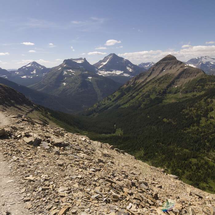
The reveal of the next drainage which is the headwaters of Nyack Creek, explodes into view at the pass. Both sides of the pass feature views which are an inspired delight to the eyes. Looking west, Mt. Phillips dominates the view with Mt. Stimson standing tall behind it to the north.
From here, the trail works its way up a ridgeline off Flinsch Peak before turning back towards the west and wrapping around north towards Pitamakan Pass. This next section may have too much exposure for some, but this top of the world traverse can only be experienced.
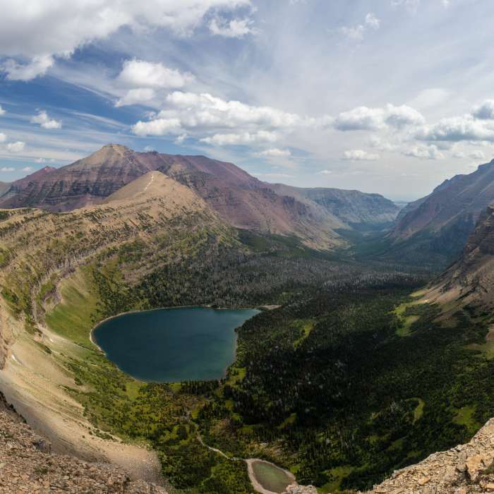
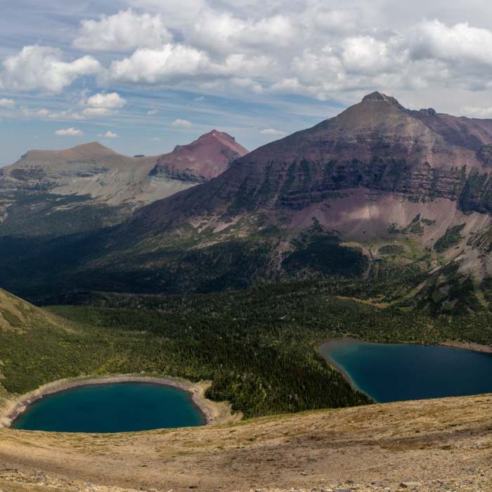
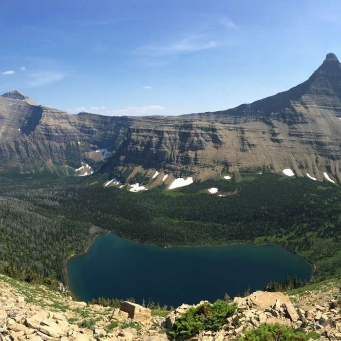
As you reach the saddle between Flinsch Peak and Mt. Morgan, an overlook of Oldman Lake and the Dry Fork drainage is fantastic. Keep an eye out for mountain goats below you along the cliffs.
The trail wraps around a couple of ridges of Mt. Morgan providing ample viewpoints and photos before dropping down to the Cutbank Pass trail and down to Pitamakan Pass.
This content was created by Jake Bramante of Hike 734. Visit https://www.hike734.com for more expert Glacier content and maps that help you decide which trail to hike.
No Condition Reports
Pitamakan/Dawson Loop
Pitamakan/Dawson Loop
Two Medicine Lake Loop Hike
Two Medicine Lake Loop Hike
Continental Divide Trail: Montana-Idaho Section 28
Continental Divide Trail: Montana-Idaho Section 28
Scenic Point Out and Back
Scenic Point Out and Back
Aster Park Overlook Hike
Aster Park Overlook Hike
Cobalt Lake
Cobalt Lake
Contributors

