Ready to explore this trail?
View Trail Map in AppPath Type
Point to Point
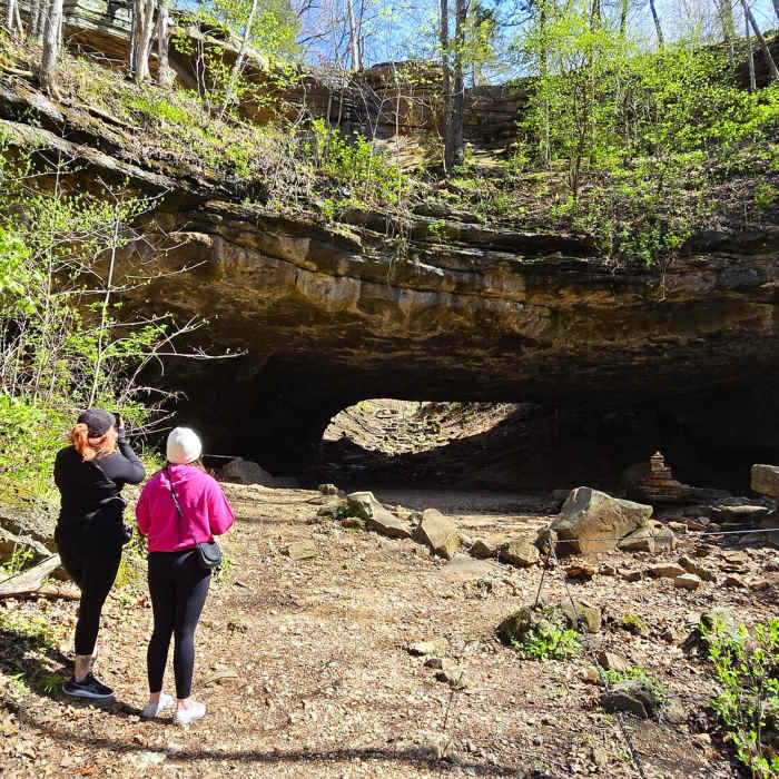
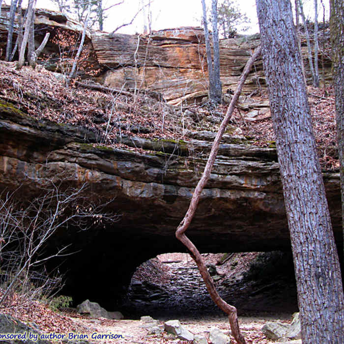
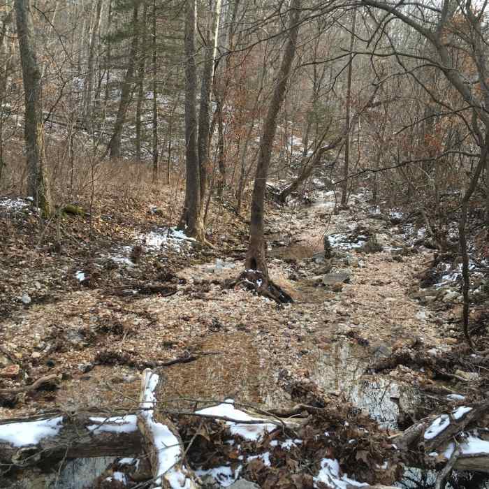
The Turkey Pen Hollow Trail is the longest of the Ha Ha Tonka trails. It is a wide, well-marked dirt path which winds around toward the southern boundary of the park. The trail climbs up and down several times over mostly easy and moderate grades, with the occasional steeper hill. The trail winds past a large sinkhole, leads to an access to the backpack camping area for large groups, and meanders through Turkey Pen Hollow.
From the parking area of State Hwy D, follow the red blazes south. Stay left and when the red loop splits, stay right to follow the loop counterclockwise. For those looking for a shorter loop, taking the White Connector 1 will cut of about two miles of trail. Along White Connector 1, there is an intermittent pond which can be a nice place to rest.
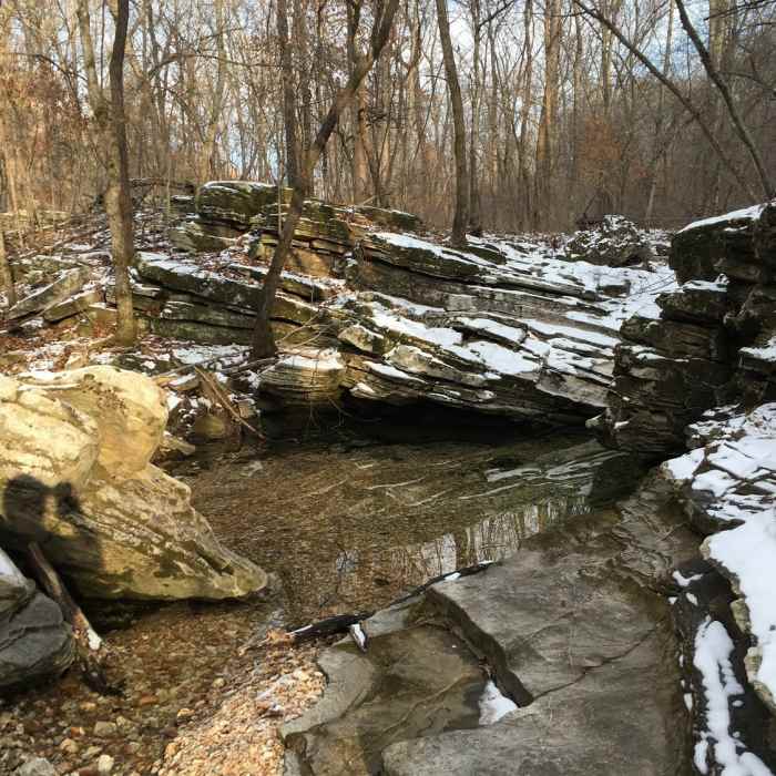
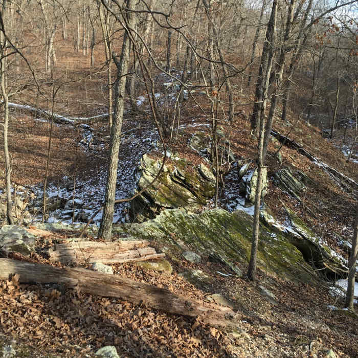
There is a short connector that links to a special use camp. This is a primitive backpack camping area for groups of seven or more. After passing the connector trail leading to the special-use camp, hike across a large south-facing glade. Ahead, a large outcrop of rock is the remnant of the Red Arrow Fault line. This is an area where layers of rock have shifted resulting in some very interesting rock formations.
No Condition Reports
Indian Point Trail
Indian Point Trail
Moreau Creek Trail
Moreau Creek Trail
Natural Bridge Loop
Natural Bridge Loop
Berry Bend East
Berry Bend East
Berry Bend West
Berry Bend West
Contributors

