Ready to explore this trail?
View Trail Map in AppRegional Classic
A must do route for the area handpicked by local experts.
No permit or fee is required to hike this route. Taum Sauk Mountain State Park is open daily from sunrise to sunset. Parking at the trailhead is free but fills quickly on spring weekends when the waterfall is flowing.
Path Type
Loop
This route starts and ends at the Taum Sauk Mountain trailhead.
From the trailhead, begin hiking along the paved path. At 0.2 turn left on the trail to reach the summit of Taum Sauk Mountain and the marker for the Missouri high point. Head back to the main paved trail, turning left to continue to the west.
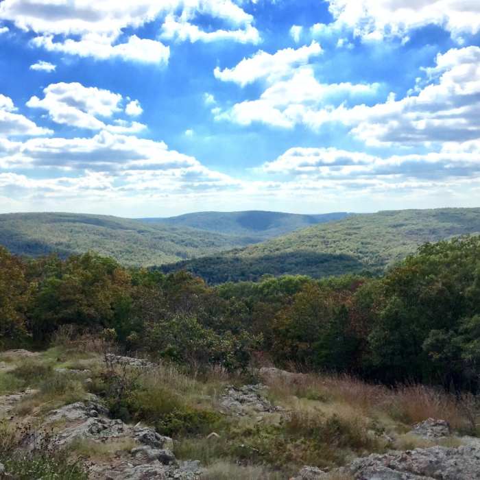
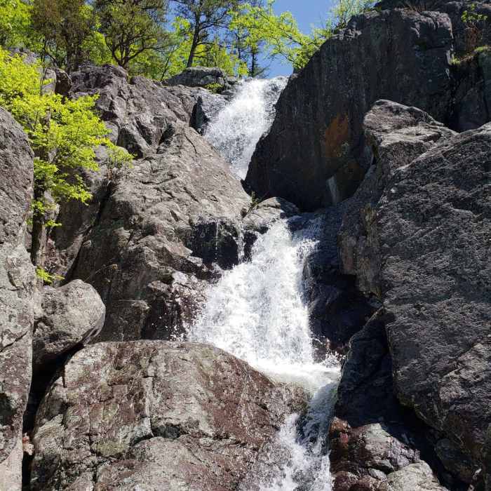
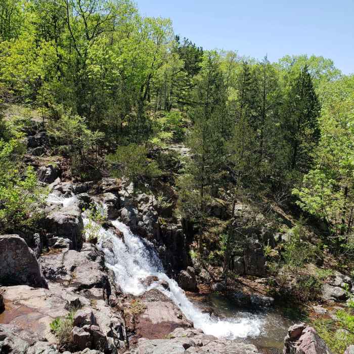
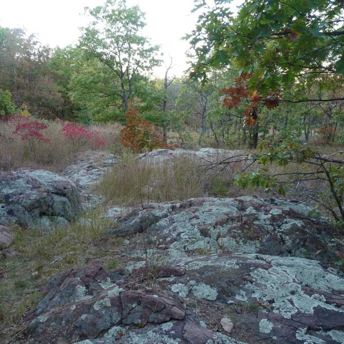
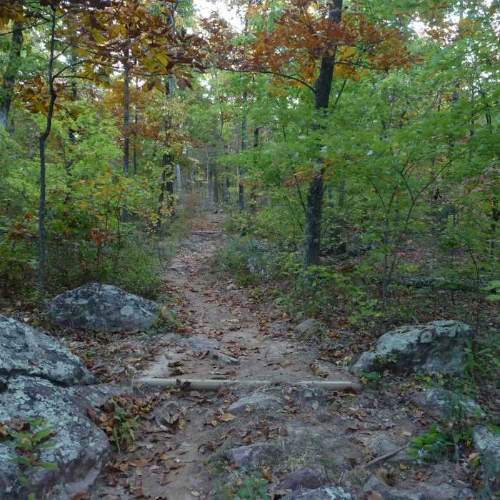
Continue past the pavement, turning right at 0.3 miles onto the red-blazed Mina Sauk Falls Trail. Descend through oak-hickory forests and rocky volcanic glades. At 1.4 miles, arrive at the top of Mina Sauk Falls, Missouri's tallest wet-weather waterfall, which drops 132' over rhyolite ledges.
Turn left to cross Taum Sauk Creek above the falls, then turn right to follow the trail, which is co-aligned with the white-blazed Ozark Trail. Climb approximately 330 vertical feet over steep, rocky terrain. At 2.5 miles, the Ozark Trail branches off to the right; stay left to remain on the red-blazed trail. At 2.8 miles, turn right, to pass Taum Sauk Mountain.
Complete the climb to return to the trailhead parking area at 3.0 miles.
All Clear
All Clear
Some Issues
Some Issues
Looking for more condition reports?
Council Bluff to Brushy Creek Lodge
Council Bluff to Brushy Creek Lodge
Trail Through Time
Trail Through Time
Whispering Pine - North and South
Whispering Pine - North and South
Stegall Mountain Fire Tower
Stegall Mountain Fire Tower
Wilderness Trail
Wilderness Trail
Alley Spring Mill Loop
Alley Spring Mill Loop
Contributors

