Ready to explore this trail?
View Trail Map in AppRegional Classic
A must do route for the area handpicked by local experts.
A free, self-issued wilderness permit is required at the trailhead kiosk before entering the Boundary Waters Canoe Area Wilderness. Motorized and wheeled equipment are prohibited beyond the wilderness boundary.
Path Type
There and Back
This route starts and ends at the Eagle Mountain Trailhead on The Grade (Forest Road 170) and reaches the summit of Eagle Mountain (2,301'), Minnesota's highest point for a round trip of about 7 miles.
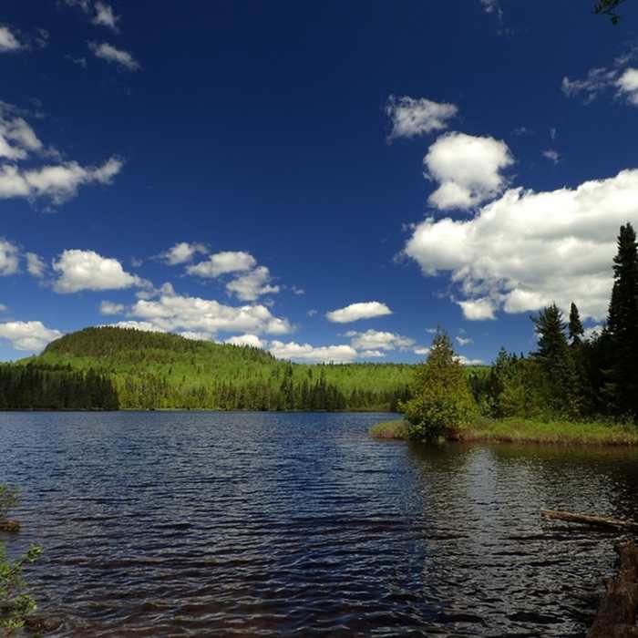
From the trailhead, the route heads north into the Boundary Waters Canoe Area Wilderness on a gradually climbing, rocky, and uneven grade. Several low boardwalks cross wet ground in the first two miles and can be underwater after rain. At about 2 miles, the trail reaches the southern shore of Whale Lake and follows its southern and western sides; near the lake's northwest corner, just past a campsite sign, bear left at the junction with the Brule Lake Trail to continue on the Eagle Mountain Trail.
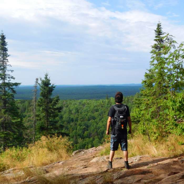
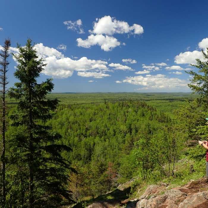
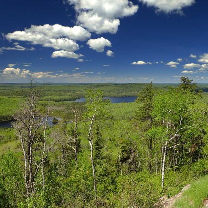
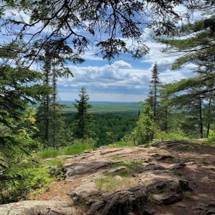
From Whale Lake, the route steepens over the final stretch, climbing several hundred vertical feet and passing two viewpoints before reaching the summit, marked by a boulder, a historical plaque, and a survey monument.
Return by retracing the same route, including the boardwalks near Whale Lake.
The highest point in the state, standing at 2301 feet above sea level.
No Condition Reports
Lookout Mountain Loop
Lookout Mountain Loop
Cascade River Loop
Cascade River Loop
White Sky Rock
White Sky Rock
Gitchi-Gami State Trail - Grand Marais to Cutface Creek Rest Area Segment
Gitchi-Gami State Trail - Grand Marais to Cutface Creek Rest Area Segment
Hunters Rock via the Superior Hiking Trail
Hunters Rock via the Superior Hiking Trail
Crab Lake Trail to Bridal Falls
Crab Lake Trail to Bridal Falls
Contributors

