Ready to explore this trail?
View Trail Map in AppRegional Classic
A must do route for the area handpicked by local experts.
Mount Arvon is located on private commercial forest land, but public access is permitted. No fees or permits are required to hike or visit the summit.
The access roads, primarily Ravine River Road, are active logging roads that are extremely rugged, unpaved, and not plowed in the winter. A high-clearance, four-wheel-drive vehicle is highly recommended. During the winter and spring mud seasons, the roads are impassable to standard vehicles, requiring a much longer trek on foot, snowshoes, or snowmobile from further down the road.
Path Type
There and Back
The route starts and ends at the Mount Arvon Trailhead on Ravine River Road, after reaching the summit of Mount Arvon.
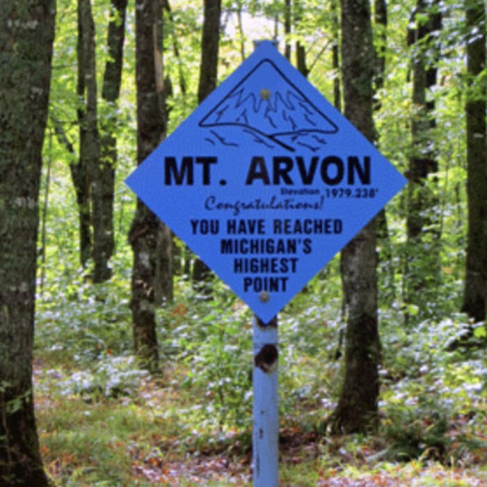
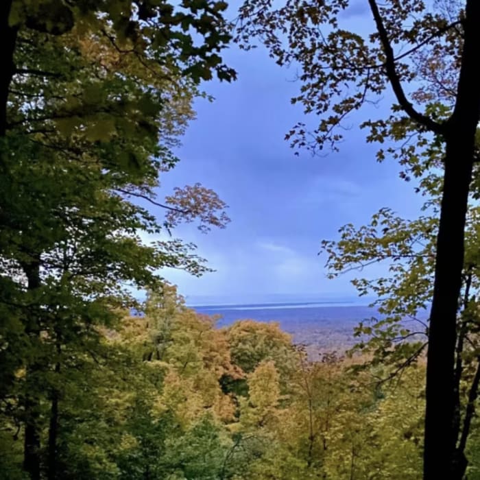
Begin by hiking southeast along the blue-blazed trail as it parallels Ravine River. Follow the trail as it winds to the west. Around 0.7 miles, continue straight, crossing the logging road. Cross the logging road again at 0.9 miles, continuing straight. At 1.1 miles, turn right onto the logging road, at the signed junction, to begin the final ascent. Climb through the dense maple and birch forest. At 1.4 miles, reach the summit of Mount Arvon at 1,979'. The summit features a blue mailbox containing the hiker registry, a picnic table, and a small cleared overlook with views of Lake Superior.
Retrace your steps to return to the trailhead.
For decades, nearby Mount Curwood (1,978 feet) was believed to be Michigan's highest point. However, a United States Geological Survey (USGS) resurvey in 1982 using advanced measuring techniques determined that Mount Arvon stands at 1,979 feet, officially capturing the title of Michigan's highest point by a margin of just one foot.
No Condition Reports
Canyon Falls Trail
Canyon Falls Trail
Hike to Yellow Dog Falls
Hike to Yellow Dog Falls
South Range Hill Loop
South Range Hill Loop
Mont Ripley Overlook
Mont Ripley Overlook
Hogback Mountain
Hogback Mountain
Wetmore Shoreline Trail
Wetmore Shoreline Trail
Contributors

