Ready to explore this trail?
View Trail Map in AppFoot traffic please yield to bikes and horses.
Path Type
Point to Point
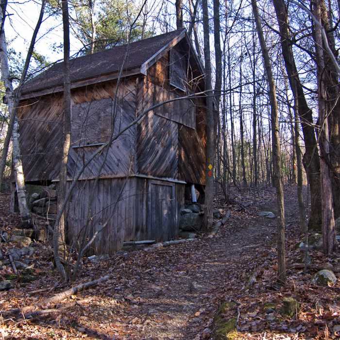
Start at the Damon Pond parking lot off Rte. 119 and follow the yellow blazes. The trail follows a singletrack the woods for a bit until it comes out at a gravel road. Follow this gravel road and at mile 0.75 expect the trail to turn left into the woods again.
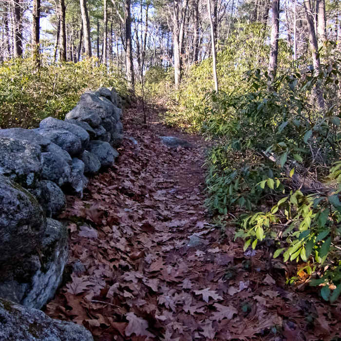
This starts the more technical section of the trail where you'll have to navigate quite a few rocky sections between relatively smooth trail sections. Keep following the yellow blazes.
At mile 1.8, the trail starts to descend and the hiking becomes more fun and interesting. Expect switchbacks, exposed rock and moderate drops. Because of this section, the trail is best done from north to south.
Eventually you'll come out at North Pond Road and the rest of the trail will be on less challenging ground. The trail ends near the Pearl Hill SP entrance.
No Condition Reports
Wapack and Back
Wapack and Back
Mount Watatic and Nutting Hill Loop
Mount Watatic and Nutting Hill Loop
Wapack Trail to Mount Watatic and Pratt Mountain
Wapack Trail to Mount Watatic and Pratt Mountain
Contributors

