Ready to explore this trail?
View Trail Map in AppPath Type
Point to Point
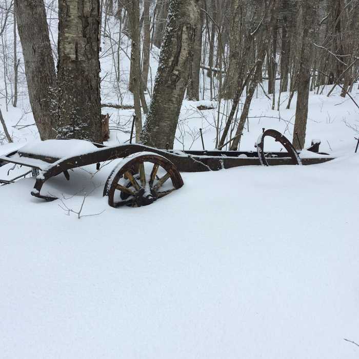
This trail follows blue blazes. It starts from the parking area and follows an old woods road. The trail mostly follows along the brook, with multiple stream crossings. Most of the crossings are poorly situated for winter travel. At the junction with Agawon Trail, the trail crosses the stream again. It follows along the right side of the stream, then crosses back over to the left. Here, there is an old car or piece of farm equipment. In a short distance from here, the trail runs past an old mill site. The trail runs high above the brook, then, after another stream crossing, traverses over a rocky little climb. Once the trail reaches Risky Ranch Road, it follows it to the right. The trail ends when it reaches the AT.
No Condition Reports
The Long Trail (Division 1)
The Long Trail (Division 1)
Pine Cobble Trail
Pine Cobble Trail
Snow Hole + Taconic Crest Trail
Snow Hole + Taconic Crest Trail
Contributors

