Ready to explore this trail?
View Trail Map in AppRegional Classic
A must do route for the area handpicked by local experts.
The trail is located on private property and visitors must park at the Mount Zion Presbyterian Church. Respect the church grounds and private property - stay on the designated trail.
No permits or fees are required.
Path Type
There and Back
This route begins and ends at the Driskill Mountain Trailhead at the Mount Zion Presbyterian Church parking lot, after reaching the summit of Driskill Mountain.
From the parking lot, proceed to the north, passing the cemetery and the gate at the beginning of the trail.
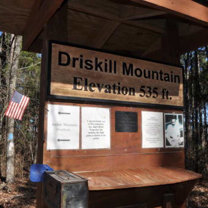
At approximately 0.2 miles, pass a cell tower on the right. Shortly after, at 0.3 miles, turn left at the signed trail junction. Follow this forested path as it climbs gently to reach the summit at 0.9 miles. The 535' high point features a rock cairn, a summit register, and a park bench.
Retrace your steps back to the parking lot.
No Condition Reports
Monkey Trail
Monkey Trail
Wild Azalea Spur and Kincaid Loop
Wild Azalea Spur and Kincaid Loop
Contributors

