
Ready to explore this trail?
View Trail Map in AppThere are restricted areas, known pits, and extreme heights. Proceed only on marked trail routes and follow all local markings, warnings, and guidelines as detailed throughout the property!
Path Type
There and Back
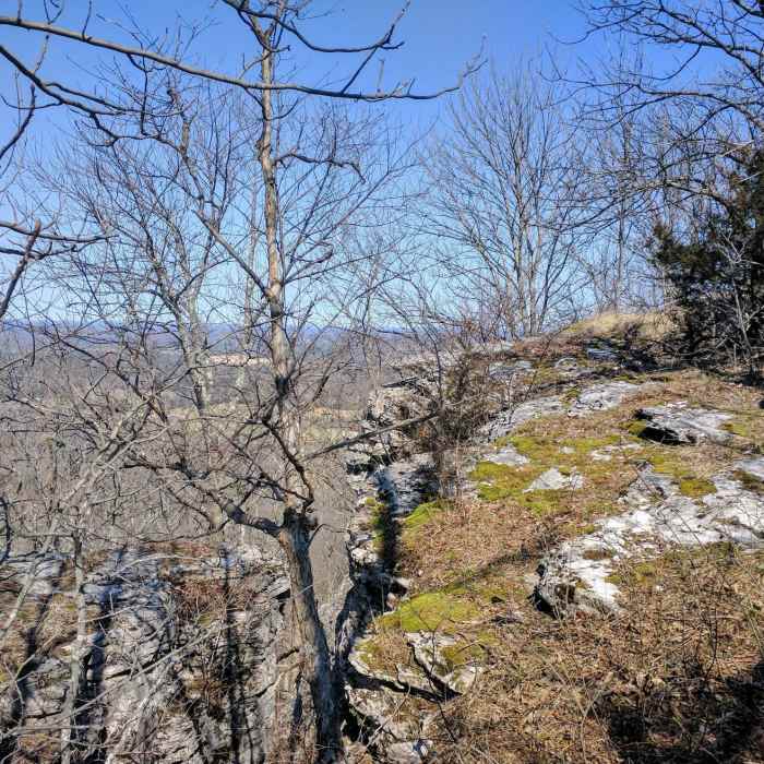
Estill County and the Friends of Lily Mountain have done a terrific job relying on mother nature to display her many colors at this trail system. While it may be composed of a few shorter trails, I implore you to tackle this jewel. I guarantee you'll leave smiling, laughing, and completely out of breath from a fervor of terrain trekking! The attached map, which is an open document free to download and use on any device, provides clarity to this system of trails. If there's necessary input, please feel free to comment or contact - I can assure you, you'll be delighted by Lily Mountain Nature Preserve! Be safe, hike strong and hold on!Download Map: https://drive.google.com/file/d/0B_ce5QWYXYslN3FrUjd2bVpVbjQ/view?usp=sharing
Some Issues
All Clear
Some Issues
Looking for more condition reports?
Bald Rock Loop
Bald Rock Loop
Hood Branch Loop
Hood Branch Loop
Whittleton Arch via Whittleton Branch Trail
Whittleton Arch via Whittleton Branch Trail
Auxier - Courthouse Loop
Auxier - Courthouse Loop
Auxier Ridge Loop Trail
Auxier Ridge Loop Trail
Hanson's Point Loop
Hanson's Point Loop
Contributors

