Ready to explore this trail?
View Trail Map in AppRegional Classic
A must do route for the area handpicked by local experts.
Charles Mound is located on private property.
Public access is strictly limited to the first full weekends of June, July, August, and September, as well as Presidents' Day Weekend in February. The trail is open during daylight hours on these specific weekends.
No fee or permit is required. Visitors must park along the shoulder of W Charles Mound Road without blocking the gate or driveways.
Pets, bicycles, and camping are strictly prohibited on the property.
Path Type
There and Back
The route begins and ends at the gated entrance on W Charles Mound Road.
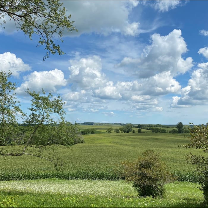
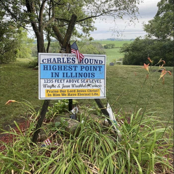
Walk north on the gravel driveway for 1.1 miles, ascending gently through rolling pastures and active farmland. Just before reaching the private residence, turn right and follow the path to the grassy clearing on the hill. The state highpoint is marked by a sign, a geological benchmark, and a register.
Retrace your steps back to the trailhead.
All Clear
Looking for more condition reports?
MMSD Forest Loop
MMSD Forest Loop
Rock River Recreation Path
Rock River Recreation Path
Natural Bridge State Park Loop
Natural Bridge State Park Loop
Hanging Rock Trail
Hanging Rock Trail
Backbone Lake Loop
Backbone Lake Loop
Devil's Lake Loop
Devil's Lake Loop
Contributors

