Ready to explore this trail?
View Trail Map in AppPath Type
There and Back
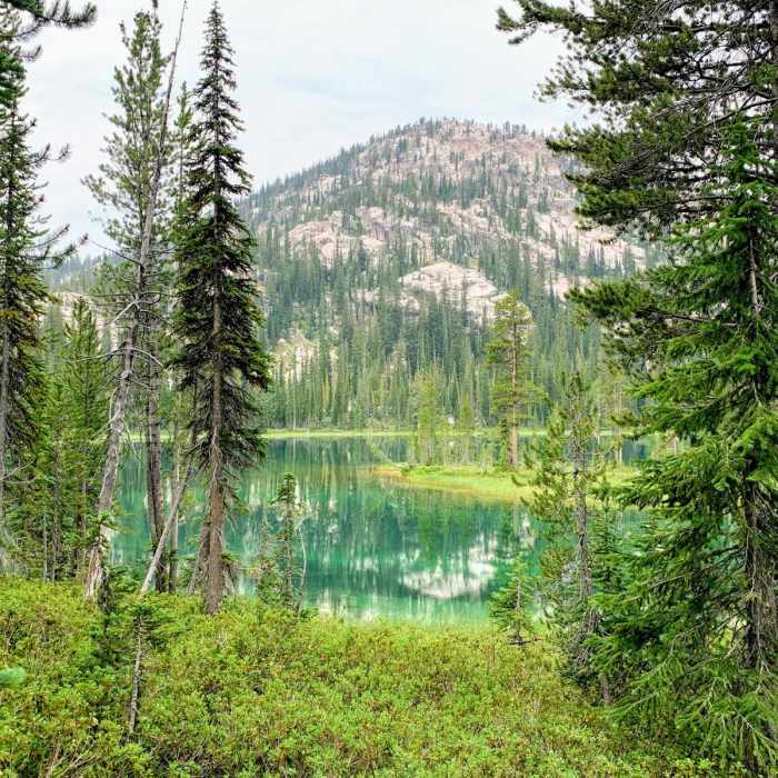
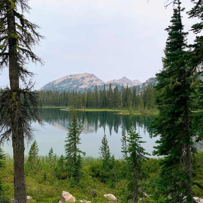
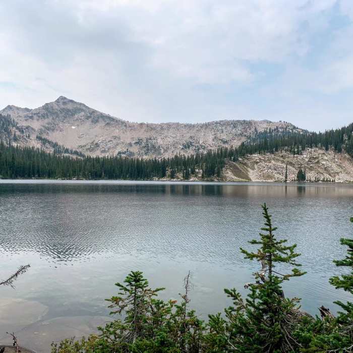
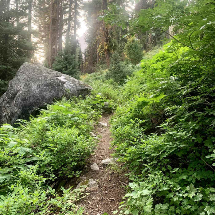
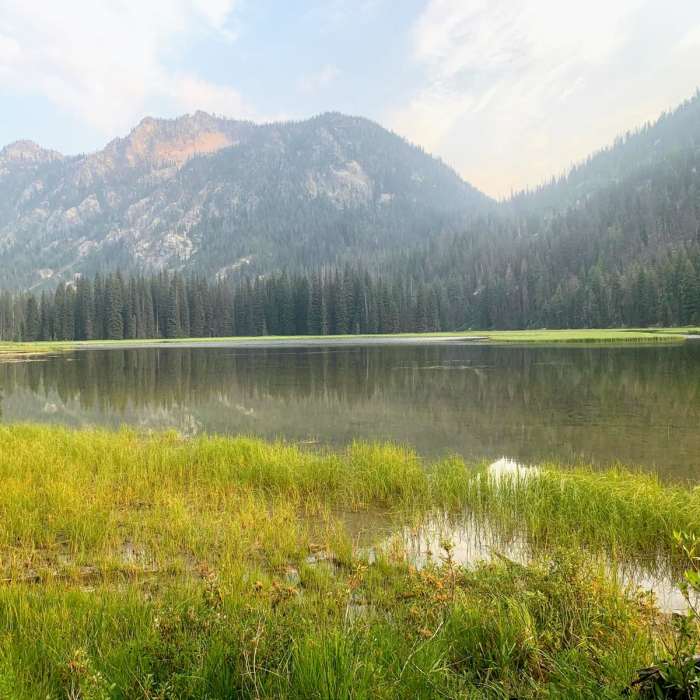
The South Fork Payette River Trail #452 is a 43.2-mile out-and-back trail through the Sawtooth Wilderness. The trail starts at the Grandjean Trailhead on the west side of the Sawtooth Mountains and heads southeast following the South Fork Payette River. This hike features a gradual climb with approximately 4,600 feet of elevation gain over the first 21 miles. The terrain is a mixture of pine forest, meadows, and lake filled basins with scenic views of jagged peaks and granite cliffs. The area is a popular location for running, hiking, backpacking, and camping. DESCRIPTIONFrom the Grandjean Trailhead, follow the South Fork Payette River Trail #452 south. Following the river, the trail climbs gently as it passes through Big Meadows and Elk Lake. Approximately 15 miles into the hike, you will reach a trail junction, keep heading east to stay on the South Fork Payette River Trail. At the junction with Mt. Cramer Trail, turn right and head towards Virginia Lake and follow the trail as it winds its way around the east side of Edna Lake. A short climb leads to another junction; turn left and proceed north and east to a saddle below Sand Mountain. The saddle marks the end of the South For Payette River Trail #452 and the turn around point for this route. COMMON VEGETATIONLodgepole pine, Douglas-fir, Ponderosa pine, whitebark pine, and subalpine fir.ANIMALSThe Sawtooth Mountains are home to many different species of animals including elk, mule deer, chipmunks, red squirrels, porcupines, black bear, mountain lion, weasel, red fox, pine marten, lynx, wolf, and wolverines.PERMITS AND CAMPINGPermits are free and can be picked up from the trailhead. CONSIDERATIONSCampsites close to the lakes tend to fill up quickly, especially on the weekends.Motorized equipment and mechanized travel (including bicycles) are not permitted within the designated wilderness areas. ADDITIONAL INFORMATIONGrandjean TrailheadSawtooth WildernessSawtooth Wilderness Map
No Condition Reports
South Fork of the Payette River, Ardeth Lake and the Spangle Divide
South Fork of the Payette River, Ardeth Lake and the Spangle Divide
South Fork of the Payette River, Hidden Lake and Cramer Divide
South Fork of the Payette River, Hidden Lake and Cramer Divide
South Fork of the Payette River, Taylor Springs to Elk Lake
South Fork of the Payette River, Taylor Springs to Elk Lake
Baron Falls + Baron Lakes
Baron Falls + Baron Lakes
Trail Creek Lakes
Trail Creek Lakes
Picket Mountain Trail
Picket Mountain Trail
Contributors

