Ready to explore this trail?
View Trail Map in AppGlacier National Park requires an entrance fee and a Wilderness Camping Permit for overnight stays, which are available via Recreation.gov or at park backcountry offices. No permits are required for day use or dispersed camping in the Kootenai and Flathead National Forests.
Strict food storage orders apply throughout the entire route. Food, trash, and attractants must be stored in approved bear-resistant containers or hung at least 10 feet high and 4 feet out from tree trunks. Backcountry campers in Glacier National Park must use the provided food storage cables or lockers.
The route ends at Goat Haunt, a seasonal U.S.-Canada port of entry. Hikers crossing the international boundary must carry a valid passport or WHTI-compliant document and clear customs during seasonal operational hours.
Path Type
Point to Point
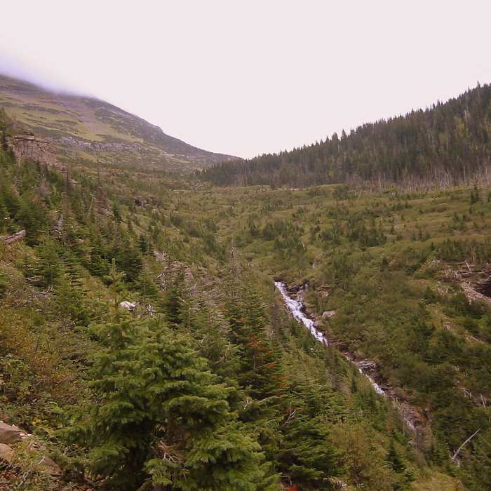
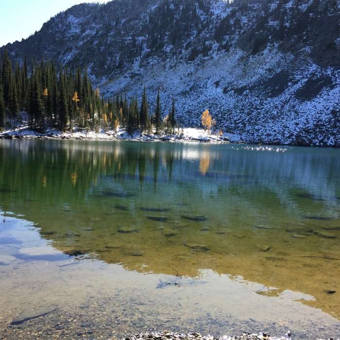
This rugged 191-mile section of the Pacific Northwest Trail (PNT) spans northwestern Montana, beginning at the Idaho-Montana border and ending at Goat Haunt in Glacier National Park. The trail traverses a highly diverse and demanding landscape, crossing the Purcell Mountains, the Yaak River valley, and the rugged Livingston Range. Hikers will experience a substantial physical challenge, with over 32,400 feet of cumulative elevation gain and 34,200 feet of loss, reaching a maximum elevation of 7,415 feet.
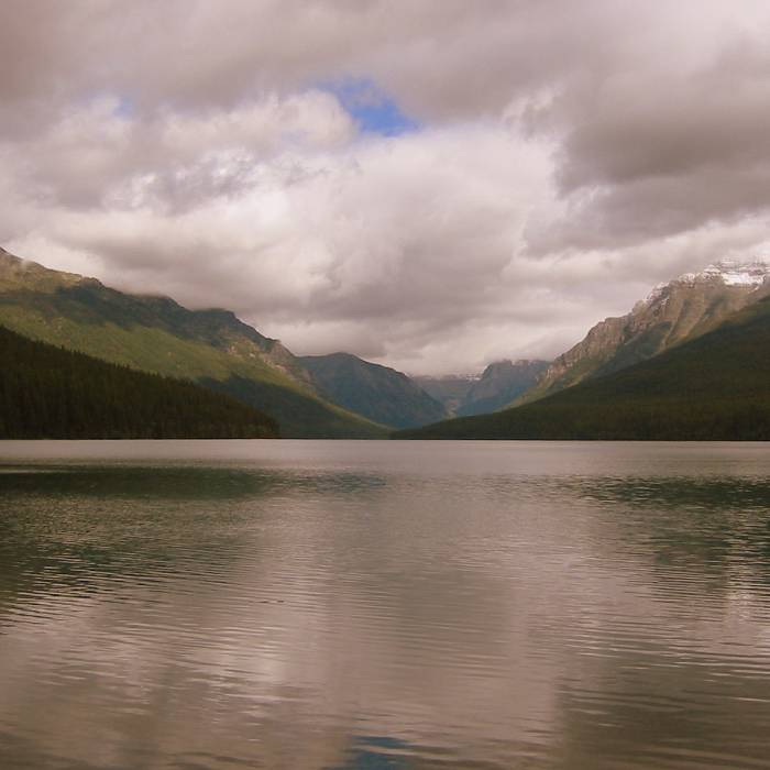
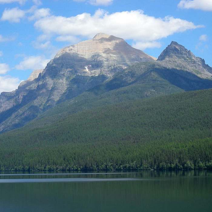
The first half of the route winds through the remote backcountry of the Kootenai and Flathead National Forests, offering solitary stretches of dense forest and scenic high ridges. After passing through the historic, off-grid community of Polebridge, the route enters the pristine wilderness of Glacier National Park. This eastern half of the section features dramatic alpine scenery, glacially carved valleys, and high-mountain passes before terminating near the southern tip of Waterton Lake at the Goat Haunt Ranger Station. Due to its extreme remoteness and high elevations, seasonal snowpack and severe weather can heavily impact navigation and accessibility.
No Condition Reports
Pacific Northwest National Scenic Trail Section 5
Pacific Northwest National Scenic Trail Section 5
Pacific Northwest National Scenic Trail Section 4
Pacific Northwest National Scenic Trail Section 4
Bottleneck Lake Out-and-Back
Bottleneck Lake Out-and-Back
Roman Nose Lakes Hike
Roman Nose Lakes Hike
Mount Pend Oreille Out-and-Back
Mount Pend Oreille Out-and-Back
Contributors

