Ready to explore this trail?
View Trail Map in AppPath Type
Loop
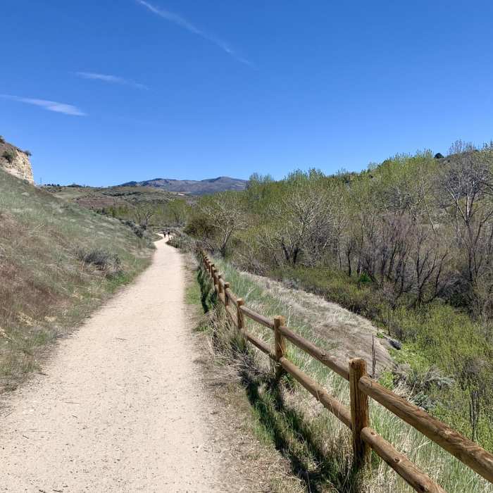
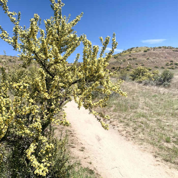
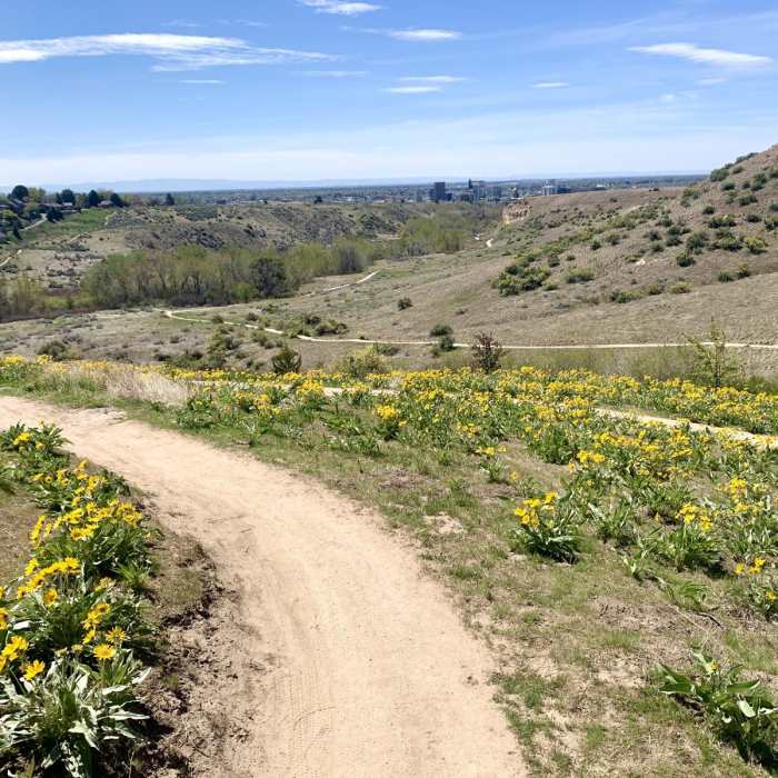
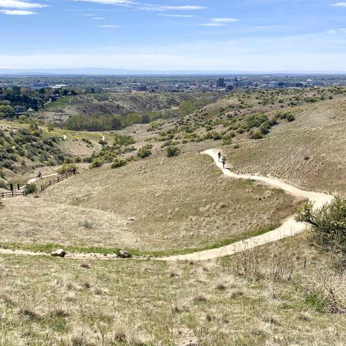
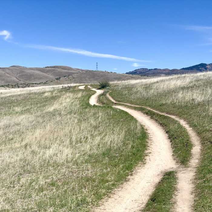
There are many routes you can take with the network of trails at Military Reserve, but this 2.5-mile loop is one suggestion for a simple morning or afternoon outing. To do this route as mapped, park at the Cottonwood Creek trailhead and begin on Toll Road Trail. This is a wide and mostly flat path. It traverses above the creek and beneath some bright red-colored sandstone cliffs. At the end of this trail you'll turn on Ridge Crest and start heading uphill. This trail twists upward in a small canyon where you'll start to get views over the city. In springtime, the big yellow flowers of the arrowleaf balsamroot are especially pretty along this section of the hike.Eventually you'll reach the top of the hill, where a short spur leads to an amazing overlook. From you can see over all of Boise and the Treasure Valley, across the Snake River Plain and to the Owyhee Mountains on the other side. It's all downhill from here on Central Ridge Trail, where you'll have a postcard view of Boise's skyline in your view the whole time.
No Condition Reports
Shane's Loop
Shane's Loop
Tour de Camel's Back and Hulls Gulch
Tour de Camel's Back and Hulls Gulch
Lower Hull's Gulch - Red Cliffs Hike
Lower Hull's Gulch - Red Cliffs Hike
Table Rock Bouldering Walls
Table Rock Bouldering Walls
Table Rock
Table Rock
Corrals Loop
Corrals Loop
Contributors

