Ready to explore this trail?
View Trail Map in AppPath Type
There and Back
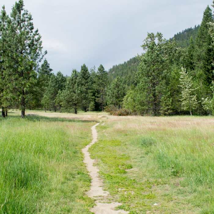
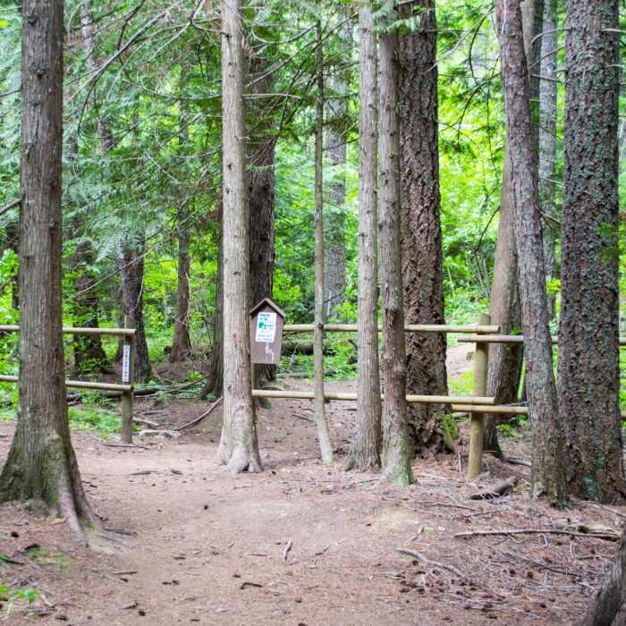
The hike starts with less than a 1/2 mile of flat field before the climb begins. Right from the start the grade is steep and the footing degrades to loose rock and a lot of exposed roots. It is singletrack the entire way and contains many switchback turns. At just over a mile, you get your first views of the Selle Valley. Then, it is mostly pine tree forest until the 3-mile mark when the trail goes straight east through a large fern patch and from that point, you have about 1/2 mile to the end. The route is an out and back, and the top has a panoramic view of the area. Prepare for a long, difficult climb with the reward at the top.
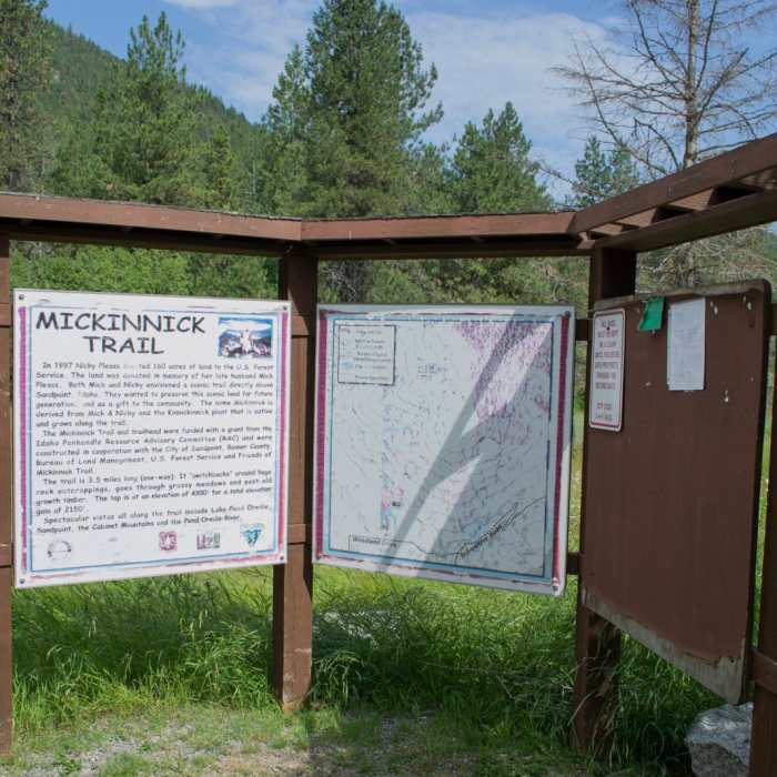
The name Mickinnick is derived from Mick & Nicky and the Kinnickinnick plant that is native and grows along the trail. Mick and Nicky donated 160 acres to the Forest Service for trail construction.
No Condition Reports
Mickinnick Trail
Mickinnick Trail
Pend d'Oreille Bay Trail
Pend d'Oreille Bay Trail
Watershed Crest Trail: Phase 1
Watershed Crest Trail: Phase 1
Gold Hill Trail #3
Gold Hill Trail #3
Stewardship Trail
Stewardship Trail
Mount Pend Oreille Out-and-Back
Mount Pend Oreille Out-and-Back
Contributors

