
Ready to explore this trail?
View Trail Map in AppPath Type
Point to Point
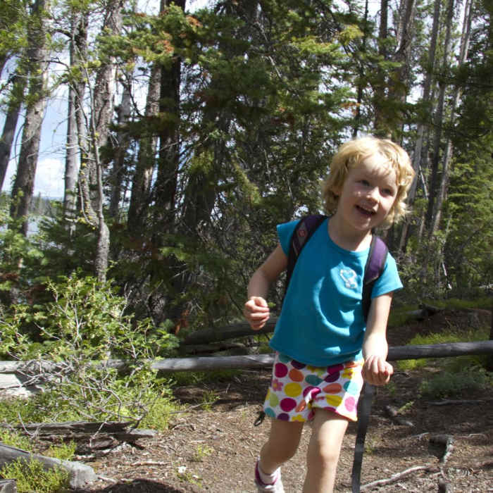
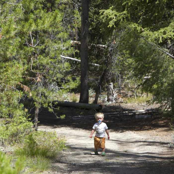
The Alturas Lake Trail is not part of the official Forest Service network. It may be a combination of the historic route connecting the Eureka town site with Sawtooth City, or simply a user-created trail along the shore of the lake. The beach at the northeast corner is a nice spot to spend the day or have an evening picnic. The trail is a pleasant walk and a great option for young children. There are no beaches along the shoreline but from the end of the trail a .3 mile strip of sand extends all the way to more heavily-used beaches at the day use area.
No Condition Reports
Alturas Lake Creek to Mattingly Divide
Alturas Lake Creek to Mattingly Divide
Johnson Creek to North Fork of the Ross Fork
Johnson Creek to North Fork of the Ross Fork
Alpine Creek Canyon
Alpine Creek Canyon
Eureka Gulch
Eureka Gulch
Alice-Toxaway Loop
Alice-Toxaway Loop
Edith Lake and Sand Mountain Divide
Edith Lake and Sand Mountain Divide
Contributors

