
Ready to explore this trail?
View Trail Map in AppRegional Classic
A must do route for the area handpicked by local experts.
Overnight camping at Geneva Lake requires a reservation on recreation.gov; without one, day-hike from the trailhead. The access road demands a high-clearance 4x4.
Path Type
There and Back
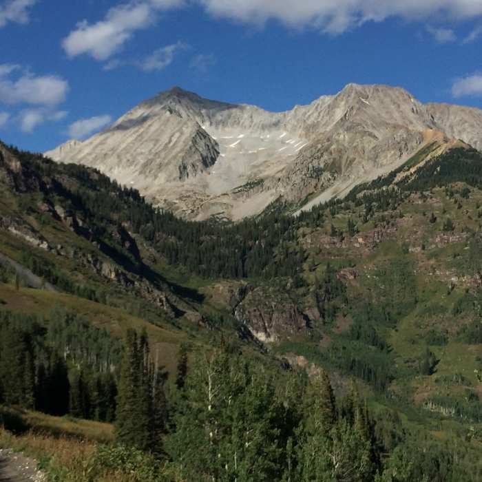
The route starts and ends at the Lead King Basin trailhead and reaches Snowmass Mountain's 14,105' summit.
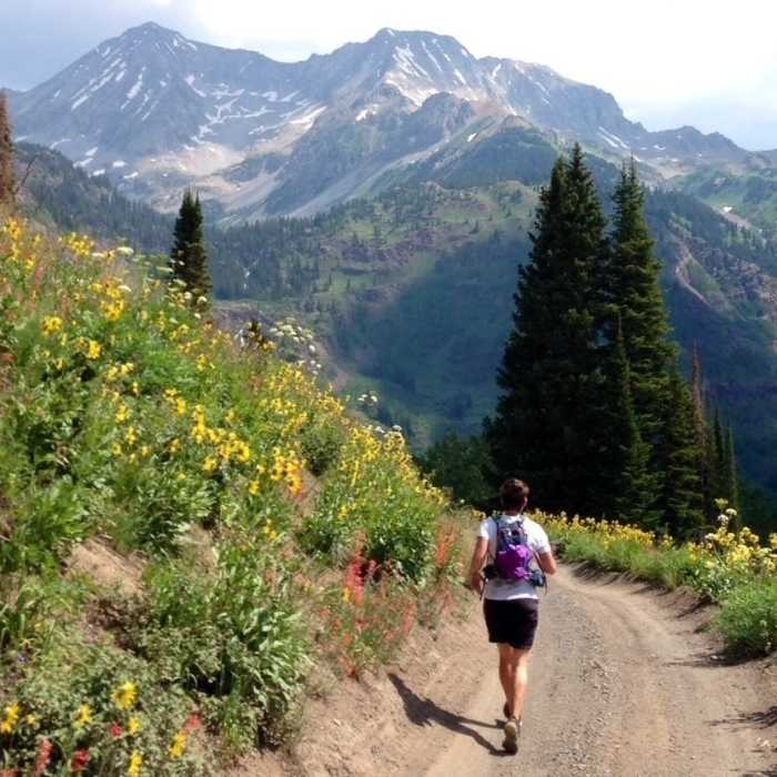
From the trailhead, follow the trail 0.4 miles to a junction and stay left toward Geneva Lake. Climb through brush as the trail swings up the hillside, crossing the slope above a waterfall near 10,700'. Continue through forest past a small pond to Geneva Lake at 11,000'. At the lake, turn left toward campsite 4 and continue north across an open area and a small hill, then through trees into a large meadow. Climb the slope beyond the meadow to Little Gem Lake at 11,700'.
Past the lake, continue about 0.25 miles, then turn east and descend slightly to the stream below Geneva Lake — the last easy ground before the route becomes more challenging.
Crux: The west slope above is a maze of ribs and gullies with no obvious easy line. Cross the stream and aim for a patch of grass above the talus near 12,400'; this begins a sustained route-finding and scrambling crux up loose, unstable rock, including large blocks that shift underfoot. Climb past the grass, briefly right, then back left near 12,800', staying in or along the left side of the main gully.
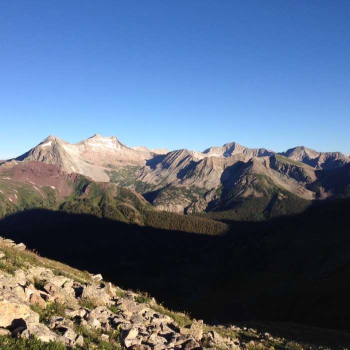
Above 13,500', the summit ridge comes into view; the rock firms up somewhat near 13,800'. Gain the narrow ridge past 14,000', turn right, and scramble carefully to the summit — exposure is significant on the left (east) side, and several large rocks are bypassed by dropping slightly right before regaining the crest.
Retrace the route to descend, taking extra care on the loose gully.
No Condition Reports
Lead King Loop
Lead King Loop
Mount Bellview
Mount Bellview
Treasury Mountain Out-and-Back
Treasury Mountain Out-and-Back
Cinnamon Mountain Out-and-Back
Cinnamon Mountain Out-and-Back
Yule Pass Trail Out and Back
Yule Pass Trail Out and Back
Rustler Gulch Out and Back
Rustler Gulch Out and Back
Contributors

