
Ready to explore this trail?
View Trail Map in AppRegional Classic
A must do route for the area handpicked by local experts.
Forest Service Road 383 to the trailhead is closed to vehicles from December 1 through June 1. Trailhead parking is free; the Crags Campground overflow lot charges $11 per vehicle.
Path Type
There and Back
The route begins at the Crags trailhead and ends at the summit of Pikes Peak, returning the same way for a round trip of about 14 miles.
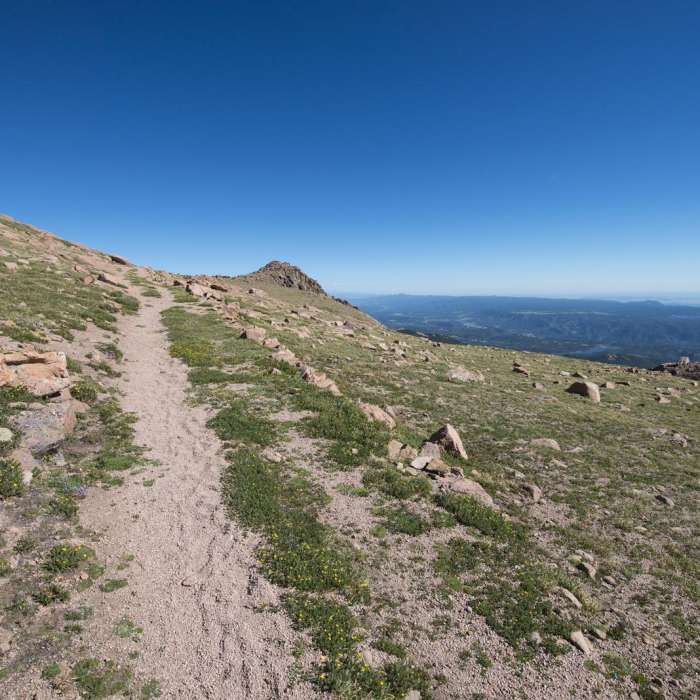
From the trailhead, cross Fourmile Creek on a wooden bridge and begin climbing. At 0.5 miles, pass a junction with a spur from Crags Campground; 30 yards farther, reach a second junction and turn right onto the Devil's Playground trail. Cross a stream on a log bridge, then cross a second stream at 10,400 feet. Continue east about one mile to a clearing near 11,000 feet, where the trail swings left and climbs a rugged section to a corner at 11,400 feet. Stay right as the trail zigzags up a steep hillside, exiting the trees near 11,900 feet, then continue east up open slope. At 12,750 feet the summit comes into view; continue east through a band of rock into the Devil's Playground area, cross to the east side of the Pikes Peak Road, and follow the marked trail south, still more than 2 miles from the summit. Pass a road corner near 12,900 feet, an overlook of Little Pikes Peak near 13,150 feet, and another road corner before reaching a flat staging area below the final pitch.
Above 13,600 feet is the route's crux: about 350 vertical feet of Class 2 rock-hopping on a well-cairned but loose talus slope. Take your time zigzagging through it. At the top, pass one last road corner and walk to the summit.
Descend the same route, taking care on the loose rock.
Katherine Lee Bates wrote the song "America the Beautiful" after taking in the view from the summit of Pikes Peak in 1893.
No Condition Reports
Devils Playground to Pikes Peak Summit to Barr Trail
Devils Playground to Pikes Peak Summit to Barr Trail
The Crags Trail #664
The Crags Trail #664
Horsethief Falls
Horsethief Falls
Sentinel Point
Sentinel Point
Dome Rock Loop Trail
Dome Rock Loop Trail
Black Bear to Hay Creek Loop
Black Bear to Hay Creek Loop
Contributors

