


Ready to explore this trail?
View Trail Map in AppStandard 2WD vehicles can reach the initial trailhead off East Willow Creek Road (Forest Road 502), while high-clearance 4x4 vehicles or ATVs can navigate further up the rough, rocky road before the final hike
Path Type
There and Back
The trail to Phoenix Falls is a scenic hike located near Creede, Colorado. The trailhead is situated at the first switchback on East Willow Creek Road, with the initial portion of the hike following a four-wheel-drive access road.
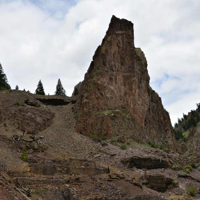
The route proceeds north, winding through a dense grove of quaking aspens along East Willow Creek. As the trail gradually climbs the valley, it opens into a large meadow at the base of the La Garita Mountains. Hikers must navigate multiple creek crossings, which may require using makeshift log bridges. Along the route, hikers can see summer wildflowers and an old mining cabin.
The final 300 feet of the approach to the waterfall is steep and rocky. The hike measures approximately 2.5 miles one way (5 miles round trip) with an elevation gain of about 863 feet, starting at an elevation of 9,856 feet and reaching a maximum elevation of 10,614 feet at the base of the falls.
No Condition Reports
San Luis Peak South Ridge
San Luis Peak South Ridge
San Luis Peak Loop from West Willow Trailhead
San Luis Peak Loop from West Willow Trailhead
Miner's Creek Trail
Miner's Creek Trail
Continental Divide Trail: Colorado Section 13
Continental Divide Trail: Colorado Section 13
San Luis Peak Northeast Ridge
San Luis Peak Northeast Ridge
Skyline Trail #465
Skyline Trail #465
Contributors

