
Ready to explore this trail?
View Trail Map in AppRegional Classic
A must do route for the area handpicked by local experts.
Durango & Silverton Railroad reservations should be booked well in advance.
Permits and fees are not required for hiking, however hikers must sign in at the trailhead. Wilderness regulations apply in the Weminuche Wilderness.
Path Type
There and Back
The route begins and ends at the Needleton Train Stop trailhead after reaching the summit of North Eolus.
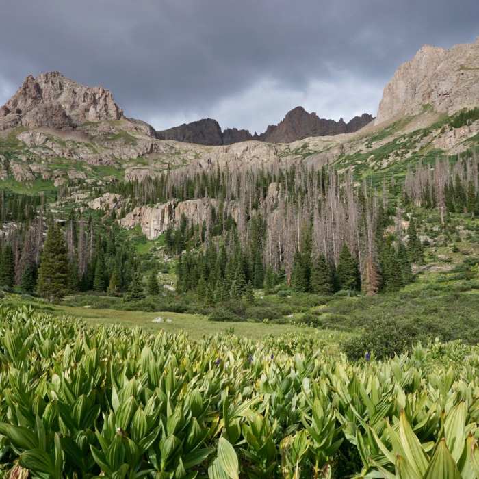
From the trailhead, head east on the Needle Creek Trail. At 0.8 miles, reach the junction with the Animas River Trail and turn left to stay on the Needle Creek Trail. Follow the well-defined trail as it climbs steadily alongside the creek, gaining 2,800 vertical feet. Enter the lower Chicago Basin camping area around 11,000 feet and continue hiking north-northeast through the alpine meadows of the upper basin.
At 6.6 miles, turn left at the signed junction to head toward Twin Lakes. Climb steep switchbacks up the headwall, gaining 1,500 vertical feet to reach Twin Lakes at 12,500' around 7.7 miles. From Twin Lakes, turn left on the Mount Eolus Trail and head northwest following a faint, cairned path through rugged talus and rock slabs.
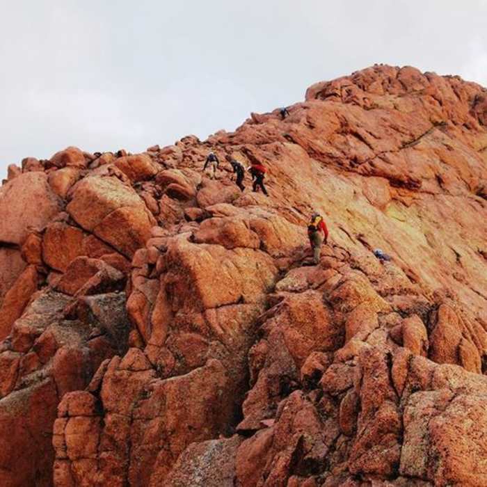
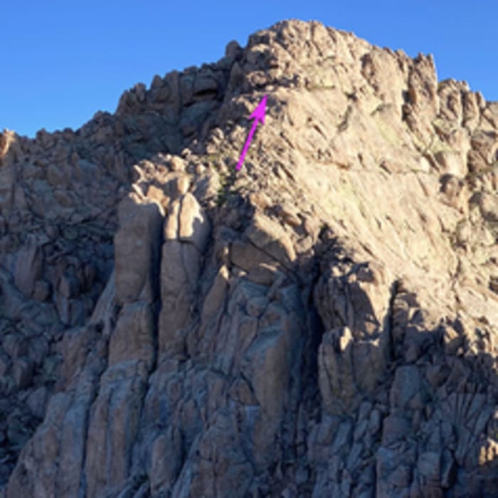
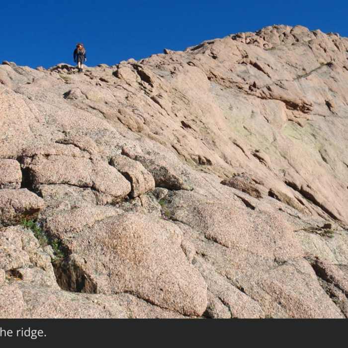
Navigate the steep, loose dirt and rock gullies, climbing another 1,300 vertical feet to reach the Eolus-North Eolus saddle at 13,800' (8.7 miles). At the saddle, turn right to climb the southern ridge of North Eolus. Follow the ridge line over class 2-3 rock, staying slightly below the crest on the east side to bypass steep sections. Scramble the final 240 vertical feet to the summit of North Eolus at 14,042' (8.8 miles).
Crux: The south ridge steepens noticeably on the final push to the 14,042' summit — rated "fairly easy Class 3" per route standards, but carrying a Considerable Exposure risk factor, meaning a slip has serious consequences. The rock is grippy and solid when dry; wet conditions change the calculus significantly.
Retrace your steps back to the Needleton Train Stop trailhead.
No Condition Reports
Sunlight and Windom
Sunlight and Windom
Chicago Basin 14er Grand Slam
Chicago Basin 14er Grand Slam
Eolus Group
Eolus Group
Animas River Trail
Animas River Trail
Engineer Mountain Summit
Engineer Mountain Summit
Coalbank Pass to Molas Pass
Coalbank Pass to Molas Pass
Contributors

