
Ready to explore this trail?
View Trail Map in AppRegional Classic
A must do route for the area handpicked by local experts.
No fees or parking permits are required at the Leadville National Fish Hatchery. A free, self-issued wilderness permit is required at the Mount Massive Wilderness boundary register.
Path Type
There and Back
This route begins and ends at the Fish Hatchery Trailhead after reaching the summit of Mount Massive from the east ridge.
From the trailhead, begin down the Evergreen Lakes Nature Trail, keeping left to head towards the access road. Follow the access road to the south, turning right at 0.3 miles onto the Rock Creek Dam Trail. At 0.5 miles, turn left to keep on the Rock Creek Dam Trail. Bypass the Rock Creek Trail on the right at 0.7 miles, and continue along the trail as it merges into the Highline Trail.
Follow the Highline Trail west. At 3.0 miles, continue straight through the intersection with the Colorado Trail. Around 3.8 miles, turn left to begin heading towards the Mount Massive east ridge.
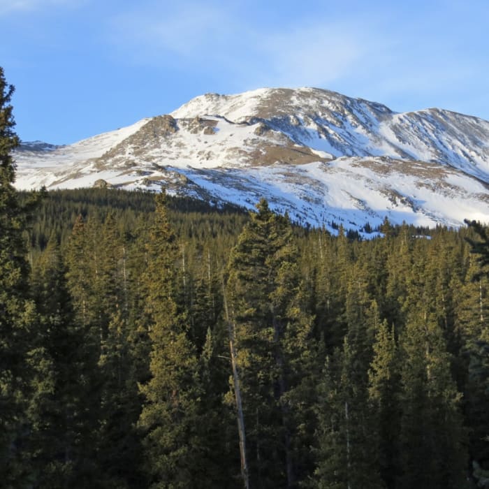
Climb steadily west through dense pine forest, gaining about 2,000 vertical feet. The trail exits the trees around 4.7 miles near 12,000' and enters a wide alpine basin.
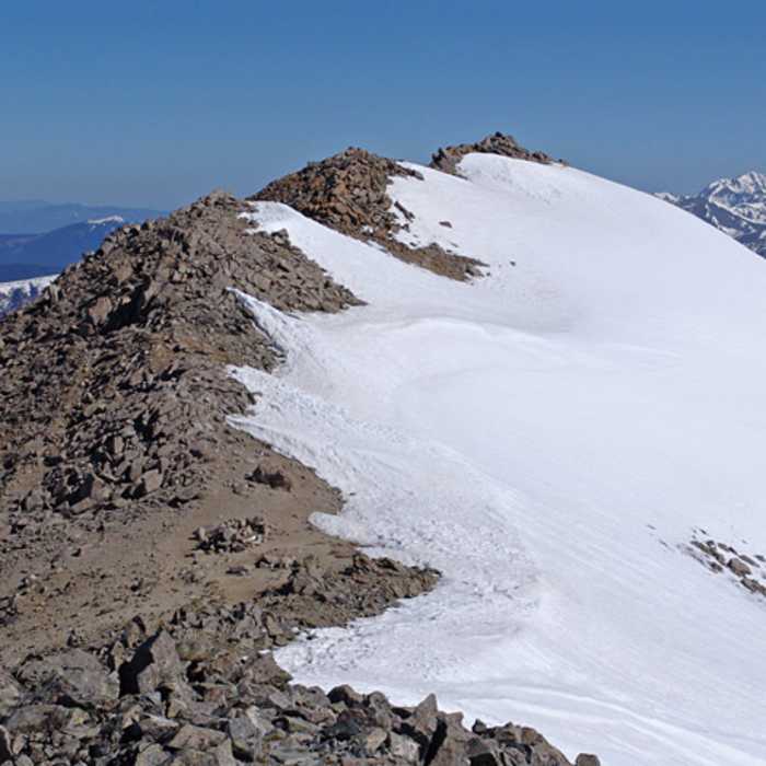
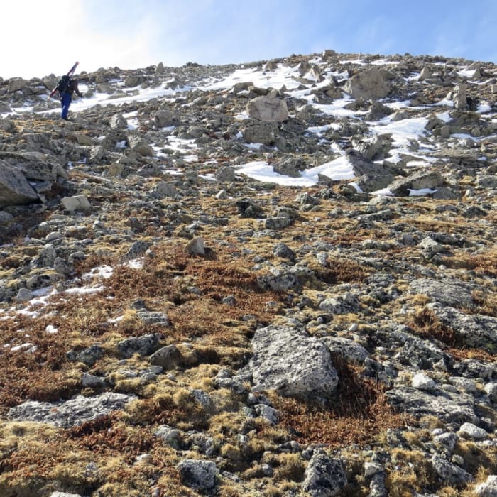
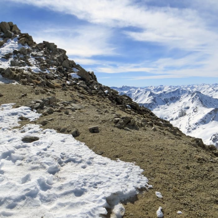
Begin climbing west along the ridge. Around 12,500' and 5.3 miles, the ridge begins to curve to the south. The terrain becomes more difficult to navigate above 12,600'. To the left of the ridge crest, reach a rocky notch around 13,000'. At the notch, climb to the right before turning left through the notch.
Crux: The rocky point near 13,000', where the terrain steepens and the trail leaves the ridge crest to climb on the left side. Multiple lines exist through this section; when snow is present on the east side, traverse right before cutting back left through a notch to bypass the difficulties. Route-finding is rated Considerable for the entire East Ridge — carry a GPS track for navigation and route-finding assistance.
Continue ascending a few bumps along the ridge line. Just below the summit, around 6.4 miles, the terrain levels out. Continue climbing 600 vertical feet to reach the summit of Mount Massive at 14,429'.
Retrace your steps to return.
No Condition Reports
Turquoise Lake Trail
Turquoise Lake Trail
Colorado Midland Centennial Trail
Colorado Midland Centennial Trail
Windsor Lake Trail
Windsor Lake Trail
Timberline Lake
Timberline Lake
Mount Elbert: Northeast Ridge
Mount Elbert: Northeast Ridge
Mount Elbert Loop
Mount Elbert Loop
Contributors

