Ready to explore this trail?
View Trail Map in AppRegional Classic
A must do route for the area handpicked by local experts.
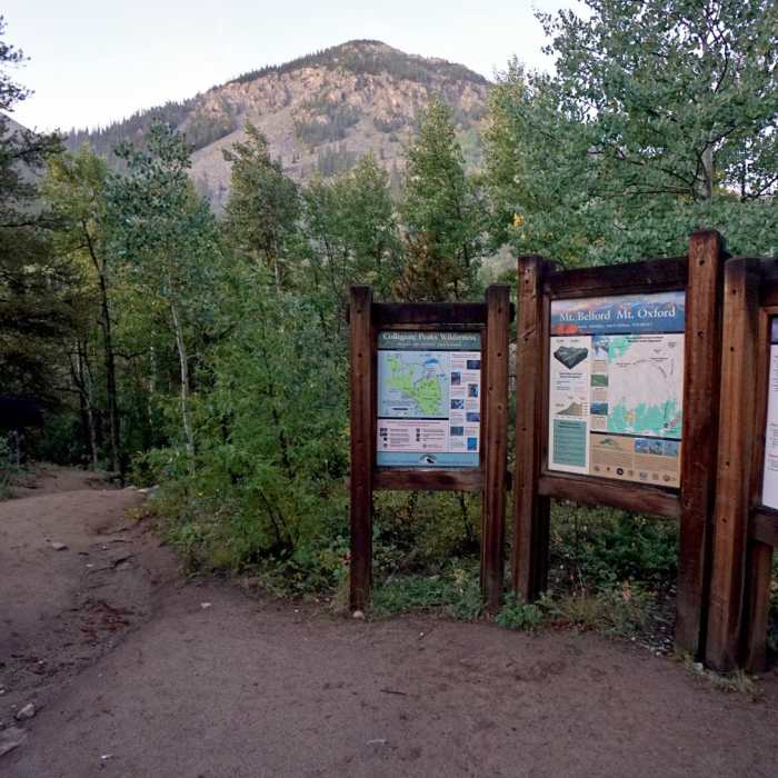
Missouri Gulch trailhead lot is small (~30 vehicles) and fills fast on weekends, there is an overflow parking along CR 390. Standard Northwest Ridge route leaves the maintained trail before Elkhead Pass and is an unmaintained, loose-rock route with exposure; snow/ice can linger into summer, so early-season parties should carry an ice axe. Route lies in Collegiate Peaks Wilderness — leashed dogs only, 15-person group max, no camping/fires within 100 ft of trail or water.
Path Type
There and Back
The route begins and ends at Missouri Gulch Trailhead (9,680') and reaches the summit of Missouri Mountain (14,067').
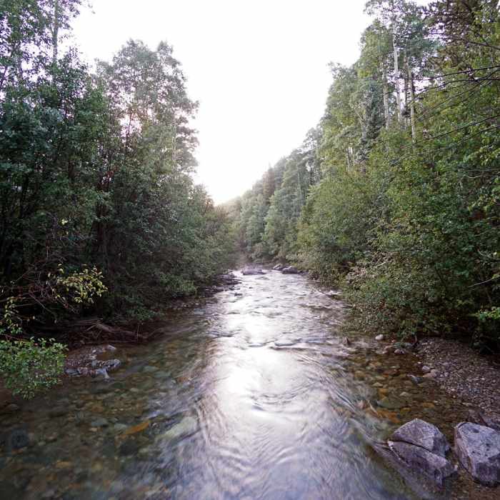
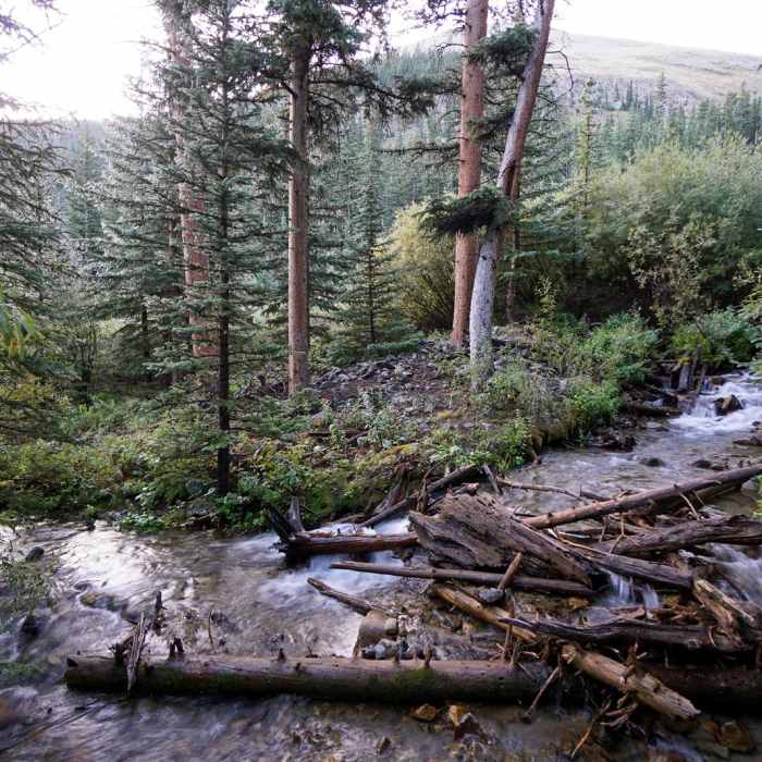
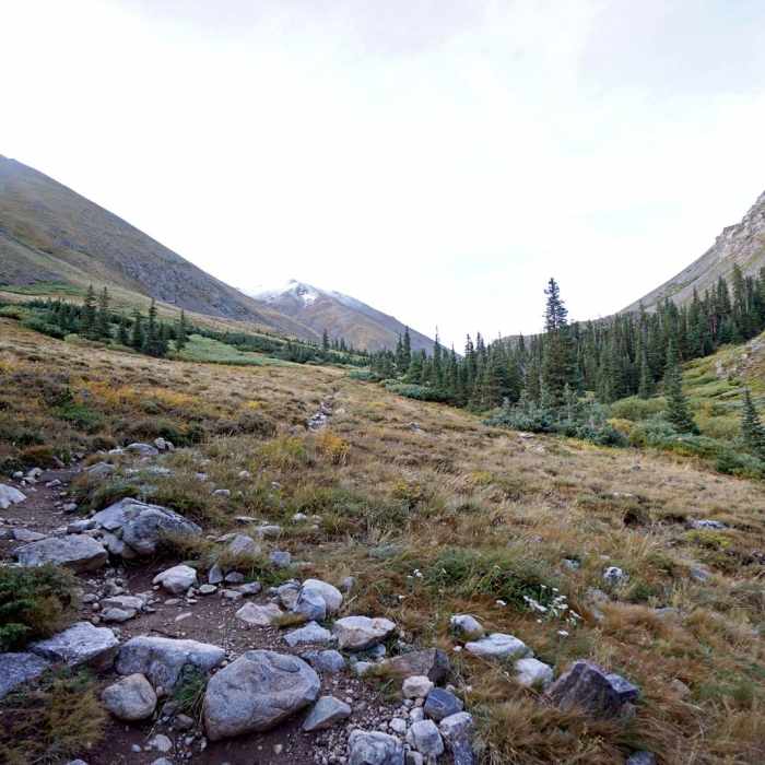
From the trailhead, cross the bridge over Clear Creek and climb a series of switchbacks through forest. Continue up Missouri Gulch to a saddle at about 13,700', then turn left onto Missouri's northwest ridge.
Follow the ridge to the summit, gaining the final stretch on Class 2+ terrain; one section near the top requires a short downclimb that gives some hikers pause, though it isn't technical.
Descend the same route. Total distance runs about 10.5 miles round trip, with roughly 4,500 vertical feet of gain.
Afternoon thunderstorms build fast over this stretch of the Sawatch, and there's no cover above treeline on any of the three summits — start well before dawn for the MOB traverse specifically, since the exposed time above treeline runs many hours.
No Condition Reports
Mount Belford and Mount Oxford
Mount Belford and Mount Oxford
The MOB Mission: Missouri-Oxford-Belford
The MOB Mission: Missouri-Oxford-Belford
CDT: Sheep Gulch to Halfmoon Creek (CO Sec. 23)
CDT: Sheep Gulch to Halfmoon Creek (CO Sec. 23)
Continental Divide Trail: Colorado Section 22
Continental Divide Trail: Colorado Section 22
Huron Peak via South Winfield Trailhead
Huron Peak via South Winfield Trailhead
Lake Ann Out-and-Back
Lake Ann Out-and-Back
Contributors

