Ready to explore this trail?
View Trail Map in AppThe trail is open year-round, but Manitou Reservoir is part of the Manitou Springs Watershed and is off-limits. Don't expect to be able to continue up to the lake for shoreline photos. There is no longer parking at the trailhead - park on Emporia Street.
Path Type
There and Back
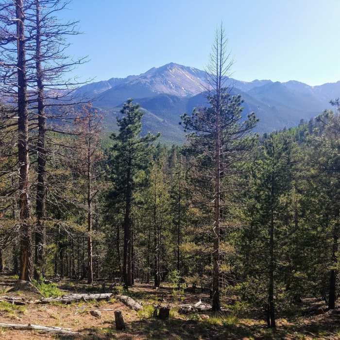
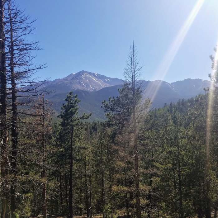
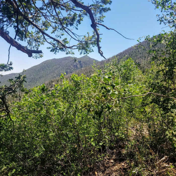
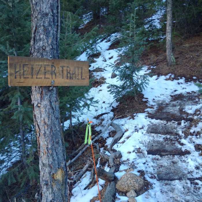
This route begins with parking in a small lot on Emporia Street near Park Street, roughly a quarter-mile from the trailhead. From the signed trailhead, the Heizer Trail climbs immediately and continuously to the summit of Cascade Mountain, gaining 1,900 vertical feet over 2 miles. The ascent features approximately 15 switchbacks. The first mile passes under a canopy of spruce and pine, providing ample shade. At the one-mile mark, the trail opens to a southeastern exposure through Gambel oak, offering views of the town of Cascade and Ute Pass.
After this opening, the grade steepens significantly, rising from an average of 8–20% to 23–40% for the next 0.7 miles. The tread in this section consists of loose, crushed Pikes Peak granite. At 1.7 miles, a rocky overlook on the right provides views of a 1,000-foot-deep canyon with Cascade Creek at the bottom. The trail continues another quarter-mile to the 9,387-foot summit of Cascade Mountain, where the path levels off in an open area surrounded by boulders.
From the summit, the trail continues down the south side of the mountain, marked by orange blazes. It descends approximately 500 feet over one mile to a T-junction with Forest Service Trail 703 at North Fork French Creek. Turning left (east) leads along the creek into the Hurricane Canyon Natural Area and toward the Barr Trail. Turning right (west) leads about a quarter-mile to the base of the Manitou Reservoir dam, where the route ends. Across a wooden log bridge over the creek, Forest Service Trail 638 continues toward the Barr Trail below Barr Camp.
Ute Pass was once a migratory route for bison that wintered in the eastern plains and migrated to South Park in the summer. Later, native Utes used the pass as a trade route between Santa Fe and South Park. According to the Ute Pass Historical Society, the Ute trail became a wagon road that ran from present-day Rainbow Falls to Leadville in the 1860s and continued to be used by stagecoaches and equestrian traffic until the 1930s. Ute Pass was also a thruway route for the Colorado Midland Railway, whose locomotives served mines and towns between Colorado Springs and Grand Junction from 1883 to 1918. In 1932, a new road that eventually became US Highway 24 was built to accommodate increasing automobile usage.While pausing to catch your breath on the way up Heizer Trail, look down at Ute Pass and imagine it as it once was. Instead of a 4-lane highway, picture herds of bison, oxen teams, stagecoaches, and the occasional locomotive making their way through the pass.
No Condition Reports
Pikes Peak East Slopes
Pikes Peak East Slopes
Barr Camp Out-and-Back
Barr Camp Out-and-Back
The Manitou Springs Incline
The Manitou Springs Incline
Iron Mountain-Intemann Trail
Iron Mountain-Intemann Trail
Siamese Twins
Siamese Twins
Garden of the Gods Loop
Garden of the Gods Loop
Contributors

