


Ready to explore this trail?
View Trail Map in AppUpdate Nov 20 2023: The Grizzly Creek Trail is currently open for only the first two miles due to damage from summer 2021 storms. Be aware of increased risk from hazard trees, falling rocks, stump holes, and flashing flooding resulting from the 2020 Grizzly Creek Fire.
Path Type
Point to Point
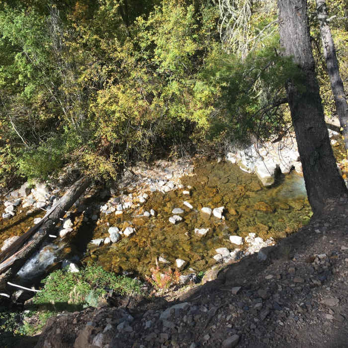
The Grizzly Creek Trail is a nice alternative to the ever crowded Hanging Lake Trail nearby. This 7.2-mile trail starts from the junction of the creek and the Colorado River and winds its way along Grizzly Creek through ponderosa pines and spruce trees. The trail offers plenty of picnic spots, places to enjoy river views, fishing holes, and room for a quick dip if you're in the mood. Please note that the water is cold as it comes from the snow melt on the Flat Tops. In the spring the river flows can be high and fast. The first half mile of the trail is wide and well maintained. The trail then becomes narrower, progressively steeper, and filled with loose rocks. The views of Grizzly Creek and Glenwood Canyon near the top make the trek worth it. Along the trail you'll notice the high canyon walls, which belong to the sedimentary formation called the Conglomerate of Canyon Creek. Keep your eyes peeled for big horn sheep on the canyon walls as they have been known to reside there on occasion. Continue uphill to one set of short switchbacks and a grove of aspens before the end of the trail. The turnaround point is the diversion pipeline that carries water to Glenwood Springs.
No Condition Reports
Grizzly to No Name (Jess Weaver) Loop
Grizzly to No Name (Jess Weaver) Loop
Hanging Lake
Hanging Lake
Red Hill Loop
Red Hill Loop
Mount Sopris
Mount Sopris
Thomas Lakes
Thomas Lakes
Avalanche Creek Trail
Avalanche Creek Trail
Contributors

