

Ready to explore this trail?
View Trail Map in AppA high-clearance vehicle is recommended for the rougher final sections of the road. Because the route traverses the La Garita Wilderness, motorized and mechanized equipment, including mountain bikes, are strictly prohibited. Group sizes are limited to 15 people, and dogs must be kept on a leash or under tight voice control.
Path Type
Loop
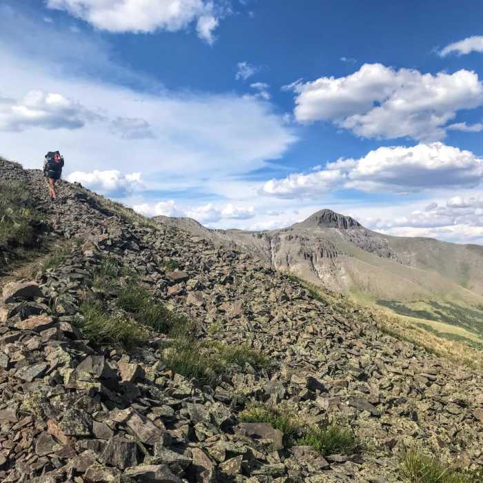
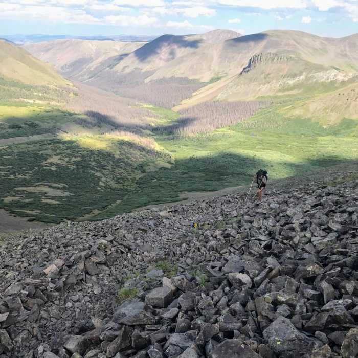
The Eddiesville Loop is a 16.5-mile route that traverses the La Garita Wilderness in the Gunnison National Forest, north of Creede, Colorado. Starting at the Eddiesville Trailhead off of Forest Road 794, the clockwise loop combines the Colorado Trail (CT) / Continental Divide Trail (CDT) with the Steward Creek Trail #740. It climbs gradually for the first 6.6 miles, followed by a steep, rocky section leading to the summit of San Luis Peak at 14,014 feet. San Luis Peak is one of Colorado's 14ers and the highest point in the La Garita Range, offering panoramic views of the Rio Grande and San Luis valleys.
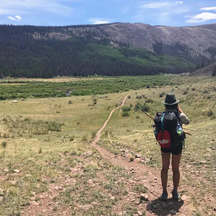
This high alpine loop ranges in elevation from 10,318 feet to 14,020 feet, with approximately 3,800 feet of cumulative elevation gain. The trail leads through alpine forests, wildflower-filled meadows, and rocky talus slopes. Despite its status as a 14er, San Luis Peak is one of the more remote and less-visited peaks in the state, offering greater opportunities for solitude compared to other major summits.
The hiking season typically runs from June through September when the route is mostly snow-free. High alpine weather is highly unpredictable; afternoon thunderstorms with lightning are common during the summer months. Hikers should plan to start early in the day to summit and descend below the tree line before storms develop in the afternoon.
No Condition Reports
Skyline Trail #465
Skyline Trail #465
Continental Divide Trail: Colorado Section 14
Continental Divide Trail: Colorado Section 14
San Luis Peak Northeast Ridge
San Luis Peak Northeast Ridge
Continental Divide Trail: Colorado Section 13
Continental Divide Trail: Colorado Section 13
San Luis Peak South Ridge
San Luis Peak South Ridge
San Luis Peak Loop from West Willow Trailhead
San Luis Peak Loop from West Willow Trailhead
Contributors

