

Ready to explore this trail?
View Trail Map in AppRegional Classic
A must do route for the area handpicked by local experts.
Arapaho National Recreation Area pass and camping permits are required. No campfires allowed.
Path Type
There and Back
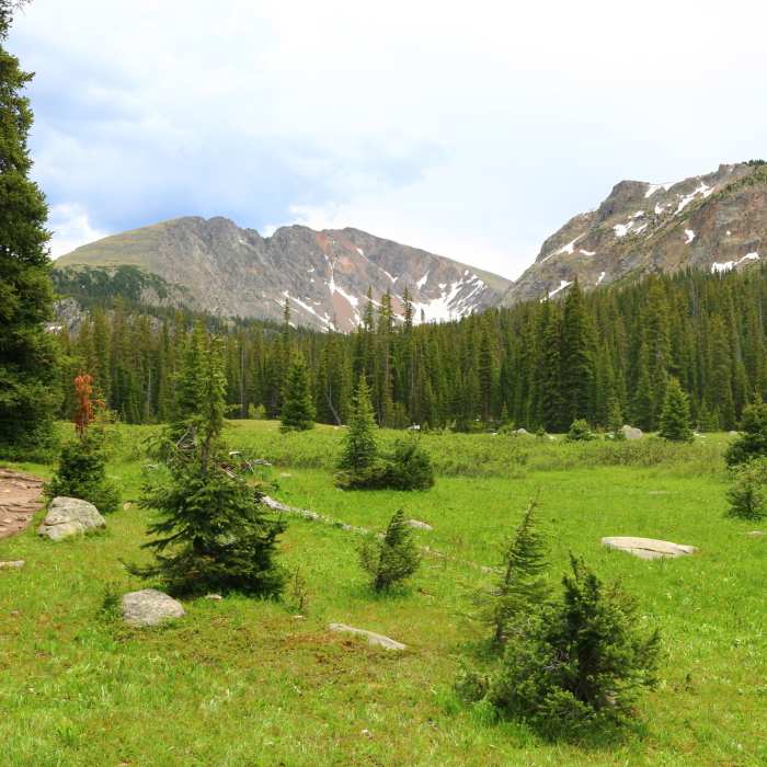
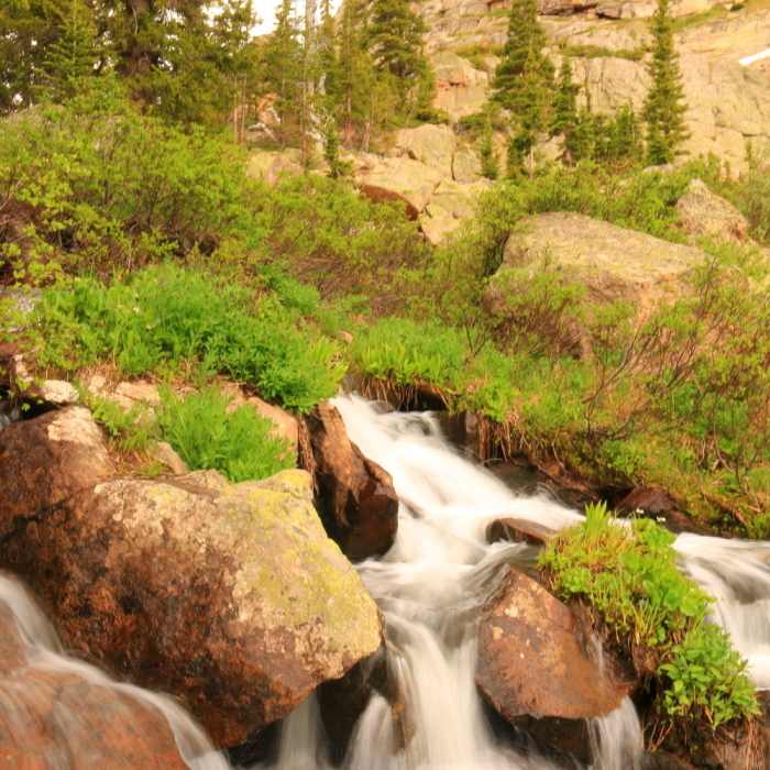
The trail begins on a rocky jeep road that steepens to an unmarked fork;keep left (1.0 mile: 10,350 ft). It rises to a large meadow at the Indian Peaks Wilderness Boundary, past which dogs must be leashed (1.28 miles: 10,420 ft). The trail arcs around the meadow, veers left at a re-vegetation sign (1.55 miles) and switchbacks up to the Caribou Pass - Columbine Lake split (1.95 miles: 10,570 ft). The Columbine Lake Trail twists up to another large meadow (2.4 miles) and levels to a smaller meadow framed by a steep rock wall (2.7 miles: 10,750 ft). The trail has been improved over the past few years to prevent hiking through a wet bog below the steep rock wall. It turns right and crosses the meadow to join the creek, where it steepens on a shifty path through a high alpine forest to Columbine Lake (3.4 miles: 11,060 ft).
There are some old cabins and outhouses along the early portions of the trail.
No Condition Reports
Junco Lake Loop
Junco Lake Loop
Monarch Lake to Crater Lake
Monarch Lake to Crater Lake
Hell Canyon Loop
Hell Canyon Loop
Continental Divide Trail: Colorado Section 35
Continental Divide Trail: Colorado Section 35
Diamond Lake
Diamond Lake
Satanta Peak
Satanta Peak
Contributors

