Ready to explore this trail?
View Trail Map in AppPath Type
There and Back
Trailhead is called Chihuahua Gulch Trailhead at Co Rd 260, Dillon, CO 80435. Head east on Montezuma Rd. From Keystone, CO. Turn left onto Co Rd 260 and head east some more for about 2.2 miles. Trailhead is on the left.
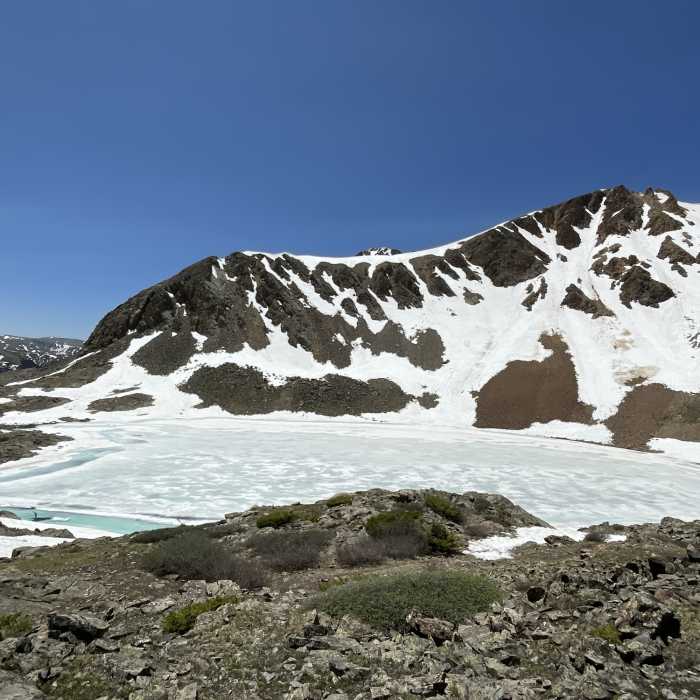
First few miles of the trail are 4WD accesible. In June there was a lot of running water and snow and we had to take off our shoes a few times and we lost the trail under snow a few times.
No Condition Reports
Continental Divide Trail: Colorado Section 30
Continental Divide Trail: Colorado Section 30
Grays Peak via East Ridge
Grays Peak via East Ridge
Argentine Peak
Argentine Peak
Kelso Ridge Scramble
Kelso Ridge Scramble
Gray's and Torrey's from Loveland Pass (The Loveland Double)
Gray's and Torrey's from Loveland Pass (The Loveland Double)
Mt. Sniktau
Mt. Sniktau
Contributors

