

Ready to explore this trail?
View Trail Map in AppPath Type
Loop
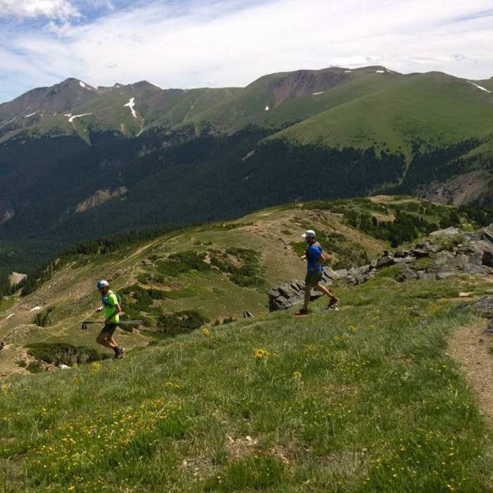
The route starts at the Berthoud Pass trailhead following the CDT climbing up to Stanley Mountain. From the summit of Stanely Mountain, take the steep off-trail downhill to Vasquez Pass on the west side. From the pass, ascend Vasquez Peak following the ridge as closely as possible. This section is steep and mildly technical but nothing above class 2. From the summit of Vasquez Peak, descend down to the saddle to meet back up with the CDT.Follow the CDT on the ridgeline past Jones Pass until the saddle to Herman Gulch. Woods Creek is a good opportunity to refill water. Alternatively, take a short detour to Herman Lake. Instead of going down the Herman Gulch trail, leave the CDT, head East, and make your way over the connected summits of Mount Machebeuf, Woods Mountain, Mount Parnassus, Bard Peak, Robeson Peak, and Mount Engelmann before following the ridge down to the town of Empire. West Fork Clear Creek right off Country Road 232 is the next good opportunity to refill water.From downtown Empire, head North and start climbing up Country Road 251 which turns into the gnarly, steep jeep roads North Empire Road and North Empire Creek. At treeline, you have the choice to follow the Jeep road to Bill Moore Lake or take the singletrack connecting directly to the CDT trail. Follow this section of well-marked and well-maintained trail up the ridge of Breckenridge Peak and finally up and over Mount Flora. The final section of the route is a smooth downhill past Colorado Mines Peak back to the Berthoud Pass trailhead.
No Condition Reports
Continental Divide Trail: Colorado Section 32
Continental Divide Trail: Colorado Section 32
Mount Flora
Mount Flora
CDT - Berthoud Pass to Stanley Mountain
CDT - Berthoud Pass to Stanley Mountain
Broome Hut via Second Creek Trail
Broome Hut via Second Creek Trail
Hassell Lake Trail
Hassell Lake Trail
Continental Divide Trail: Colorado Section 33
Continental Divide Trail: Colorado Section 33
Contributors

