


Ready to explore this trail?
View Trail Map in AppThe trail is reached from the Sherman Pass Road, which is closed in the winter. However, the snow melt at this southern end of the Sierras is much earlier than for areas farther north. To reach the south end of the Woodpecker Trail take the Cherry Hill Road-22S12 past Big Meadow and Long Meadow to 24S13, which leads past Rattlesnake Meadow to the Church Dome Trailhead. This is a primary dirt road, which should not be a problem for most passenger cars.
Path Type
Point to Point
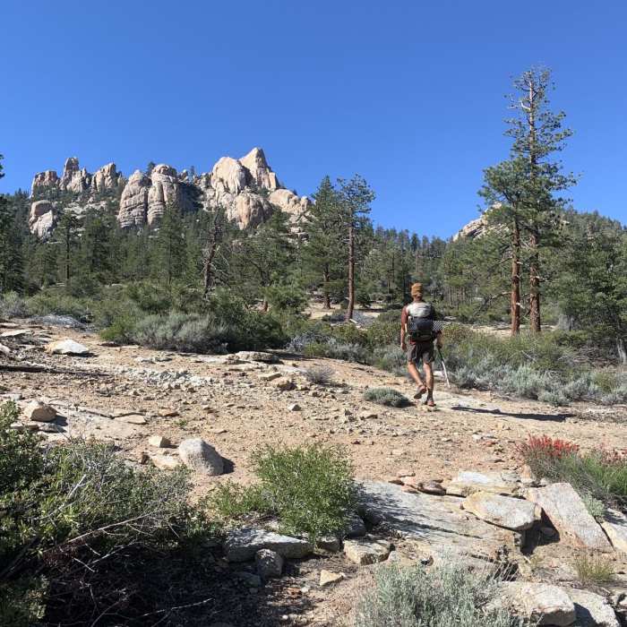
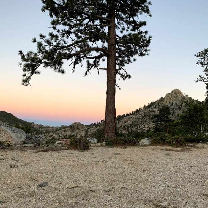
The Woodpecker Trail is a 30-mile out-and-back trail located in the Domeland Wilderness northeast of Kernville, California. This trail begins at the Woodpecker Trailhead off Sherman Pass Road (22S05), and travels down Woodpecker Canyon, traversing a rugged landscape characterized by granite domes, spires and interesting rock formations. The trail passes through beautiful meadows and flowing streams as well as difficult terrain with lots of ups and downs. The trail is open for hiking, backpacking, and horseback riding. DESCRIPTIONAfter leaving the trailhead, the Woodpecker Trail descends about 2,000 feet towards Dark Canyon. It then climbs back up (nearly another 2,000 feet) and crosses the Domeland Trail. This area features interesting rock formations and some of the region's most renowned granite domes, such as Bart Dome, which is highly regarded among rock climbers. A steep descent leads to the largest meadow within Domeland Wilderness, Manter Meadow. Also passes Church Dome, one of Domeland's most prominent features. Located in a rugged, remote area, Church Dome consists of several "domes" or "spires" and is another popular rock climbing location. CONSIDERATIONSSherman Pass Road closed in winter. Crossing Trout Creek can be difficult to impossible depending on the amount of snow melt.The Woodpecker Trail has some poorly maintained sections that are difficult to follow and several steep ups and downs.CAMPING AND PERMITSWilderness permits are not required. Campfire permits are required. ADDITIONAL INFORMATIONFor current trail conditions, contact the Kern River Ranger District: 1-760-376-3781. Domeland Wilderness - https://www.blm.gov/visit/domeland-wilderness.
No Condition Reports
Heart of the Domelands
Heart of the Domelands
Manter Meadow Hike
Manter Meadow Hike
Manter Meadow Loop
Manter Meadow Loop
Whiskey Flat Out-and-Back
Whiskey Flat Out-and-Back
Isabella Peak Out-and-Back
Isabella Peak Out-and-Back
Kern River Upper to Rincon Trail
Kern River Upper to Rincon Trail
Contributors

